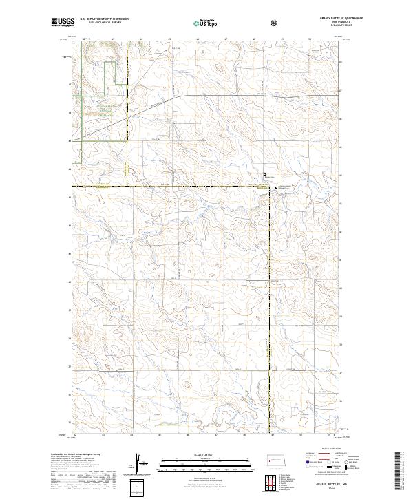
2024 Map of Grassy Butte SE
USGS Topo · Published 2024About this map
The Little Missouri National Grassland occupies the northwest corner of this landscape, marking the transition into the rugged badlands of western North Dakota. The terrain is defined by the winding course of the Little Knife River and the larger Knife River, which together carve a complex drainage system through the rolling prairie. This quadrangle captures the rural intersection of Dunn, McKenzie, and Billings counties, where the land is partitioned by a strict grid of section lines and secondary routes like Co Line Rd. Deeply rooted immigrant history is visible through the Russian Cem and the American-Baptist Mission Cem, which serve as quiet markers of the homesteaders and religious missions that settled this portion of the Great Plains. The map's layout of townships—including t145n r98w and t144n r97w—reflects the enduring structure of the Public Land Survey System in managing this vast grazing and agricultural territory.
Find a feature on this map
30 named features on this map. Tap any name to fly to it.
Don’t see what you’re looking for? This feature index may not catch every label — zoom into the map to look around manually.
Map Details
Editions of this 2024 Grassy Butte SE Map
This is the sole edition of this map. No revisions or reprints were ever made.
Other maps of this area

1953 · Watford City
USGS Topo · 1:250,000

1957 · Watford City
USGS Topo · 1:250,000

1963 · Fairfield
USGS Topo · 1:24,000

1963 · Hungry Man Butte
USGS Topo · 1:24,000

1967 · Watford City
USGS Topo · 1:250,000

1973 · Manning NW
USGS Topo · 1:24,000

1974 · Killdeer
USGS Topo · 1:100,000

1974 · Grassy Butte SW
USGS Topo · 1:24,000

1974 · Petes Creek
USGS Topo · 1:24,000

1974 · Fayette
USGS Topo · 1:24,000