
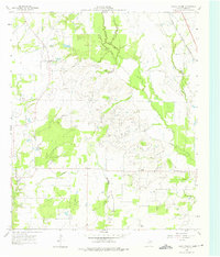
1960 Map of Grays Prairie
USGS Topo · Published 1962About this map
Grays Prairie and the surrounding Kaufman County countryside appear here as a landscape of rural crossroads and family landmarks in the early 1960s. The settlement pattern is defined by small clusters like Lively and Stubbs, punctuated by community anchors such as Shady Grove Ch and Coney Shilo Ch. Genealogists may find particular interest in the Pyles Prairie Cem, located centrally within the township.
Find a feature on this map
13 named features on this map. Tap any name to fly to it.
Don’t see what you’re looking for? This feature index may not catch every label — zoom into the map to look around manually.
Map Details
Editions of this 1960 Grays Prairie Map
Other maps of this area

1920 · Kemp
USGS Topo · 1:62,500

1954 · Dallas
USGS Topo · 1:250,000

1956 · Kaufman
USGS Topo · 1:62,500

1957 · Kemp
USGS Topo · 1:62,500

1958 · Dallas
USGS Topo · 1:250,000

1960 · Tool
USGS Topo · 1:24,000

1961 · Kemp
USGS Topo · 1:24,000

1962 · Rosser SW
USGS Topo · 1:24,000
1962 · Styx
USGS Topo · 1:24,000
1962 · Ola
USGS Topo · 1:24,000