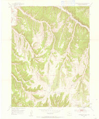
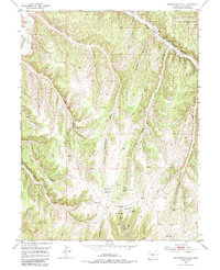
1952 Map of Greasewood Gulch
USGS Topo · Published 1957About this map
The Game Experiment Station sits at the northern edge of this drainage-heavy landscape in Rio Blanco County, marking a period of active wildlife management in the early 1950s. The terrain is defined by an intricate network of deep incisions including Greasewood Gulch, Thompson Gulch, and Hatch Gulch, which all feed toward the Piceance Creek valley. These narrow corridors were essential for local movement and water access, evidenced by the scattered Spring locations and the Little Corral Gulch Spring that served as critical water points in an otherwise arid environment.
Find a feature on this map
23 named features on this map. Tap any name to fly to it.
Don’t see what you’re looking for? This feature index may not catch every label — zoom into the map to look around manually.
Map Details
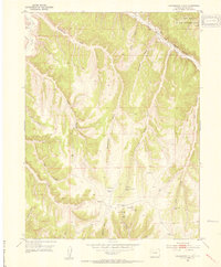
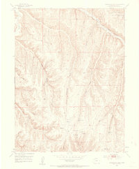
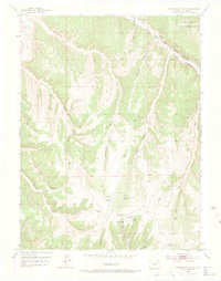
Editions of this 1952 Greasewood Gulch Map
6 editions found
Other maps of this area

1907 · White River
USGS Topo · 1:125,000

1910 · White River
USGS Topo · 1:125,000

1952 · Rock School
USGS Topo · 1:24,000

1952 · Jessup Gulch
USGS Topo · 1:24,000

1952 · Greasewood Gulch
USGS Topo · 1:24,000

1952 · Square S Ranch
USGS Topo · 1:24,000

1952 · No Name Ridge
USGS Topo · 1:24,000

1952 · Segar Mountain
USGS Topo · 1:24,000

1954 · Vernal
USGS Topo · 1:250,000

1956 · Grand Junction
USGS Topo · 1:250,000