
1893 Map of Great Egg Harbor
USGS Topo · Published 1893About this map
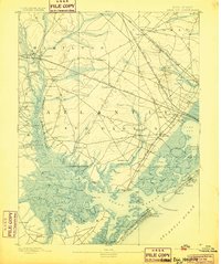
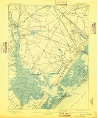
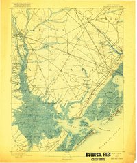
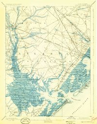
Mays Landing serves as a primary hub for this coastal Atlantic County region, situated where the Great Egg Harbor River begins to widen toward the coast. The landscape is defined by an intricate network of tidal waterways and marshlands, including Scull Bay, Lake Bay, and Broad Thorofare. The era's transportation infrastructure is well-defined by the West Jersey Railroad and the Philadelphia and Reading Railroad, which cut across the salt marshes to reach emerging seaside destinations. Maritime life is evident through the inclusion of a Fish Factory near the inlet and a Life Saving Station on the beach at Ocean City. Smaller settlements like Estellville, Bargaintown, and English Creek show the interior development away from the shoreline, while numerous landings such as Gibson Landing and Jeffries Landing indicate the reliance on river-based transport before the modern road system was established.
Find a feature on this map
105 named features on this map. Tap any name to fly to it.
Don’t see what you’re looking for? This feature index may not catch every label — zoom into the map to look around manually.
Map Details
Editions of this 1893 Great Egg Harbor Map
5 editions found
Other maps of this area

1884 · Sea Isle
USGS Topo · 1:62,500

1887 · Atlantic City
USGS Topo · 1:62,500

1888 · Dennisville
USGS Topo · 1:62,500

1888 · Little Egg Harbor
USGS Topo · 1:62,500

1888 · Sea Isle
USGS Topo · 1:62,500

1890 · Great Egg Harbor
USGS Topo · 1:62,500

1890 · Hammonton
USGS Topo · 1:62,500

1890 · Tuckahoe
USGS Topo · 1:62,500

1890 · Mullica
USGS Topo · 1:62,500

1893 · Little Egg Harbor
USGS Topo · 1:62,500