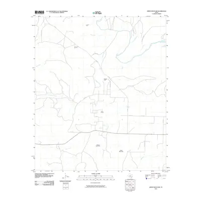
2010 Map of Green Mountain
USGS Topo · Published 2010About this map
Lygay Oil Field and the South Lygay Oil Field anchor the northern reaches of this West Texas landscape, where the energy industry integrates with the rugged drainage systems of Coke County. The terrain is defined by the winding course of the Colorado River, which receives numerous tributaries including Bitter Creek, Rough Creek, and Willmo Sand Creek. High points like Shaggy Peak and Green Mountain provide significant relief above the surrounding draws and oil production zones, such as the Millican Oil Field.
Find a feature on this map
24 named features on this map. Tap any name to fly to it.
Don’t see what you’re looking for? This feature index may not catch every label — zoom into the map to look around manually.
Map Details
Editions of this 2010 Green Mountain Map
This is the sole edition of this map. No revisions or reprints were ever made.
Other maps of this area
1954 · Big Spring
USGS Topo · 1:250,000
1954 · San Angelo
USGS Topo · 1:250,000
1958 · San Angelo
USGS Topo · 1:250,000
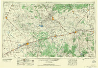
1958 · Big Spring
USGS Topo · 1:250,000
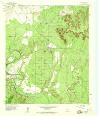
1959 · Silver
USGS Topo · 1:24,000
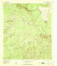
1959 · Dead Indian Mountain
USGS Topo · 1:24,000
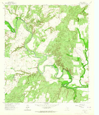
1962 · Edith
USGS Topo · 1:24,000
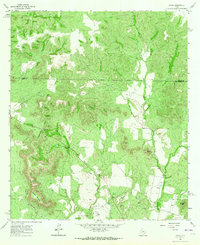
1962 · Sanco
USGS Topo · 1:24,000
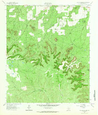
1962 · Millican Mountains
USGS Topo · 1:24,000
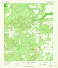
1962 · Green Mountain
USGS Topo · 1:24,000