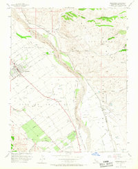
1956 Map of Greenfield
USGS Topo · Published 1967About this map
The agricultural landscape of the Salinas Valley is meticulously detailed in this mid-century survey, centered on the growing community of Greenfield. West of the Salinas River, the town's street grid is flanked by the Greenfield Cemetery and Oak Park, while a network of roads like Central Ave and Lagomarsino Ave defines the surrounding farmland. The Southern Pacific railroad parallels the river, connecting the smaller settlements of Metz and Elsa to the regional economy.
Find a feature on this map
47 named features on this map. Tap any name to fly to it.
Don’t see what you’re looking for? This feature index may not catch every label — zoom into the map to look around manually.
Map Details
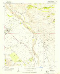
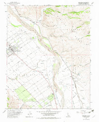
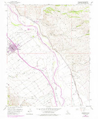
Editions of this 1956 Greenfield Map
4 editions found
Other maps of this area

1912 · Metz
USGS Topo · 1:31,680

1915 · Soledad
USGS Topo · 1:62,500

1919 · King City
USGS Topo · 1:62,500

1919 · Junipero Serra
USGS Topo · 1:62,500

1921 · Metz
USGS Topo · 1:62,500

1939 · King City
USGS Topo · 1:62,500

1940 · Metz
USGS Topo · 1:62,500

1940 · Soledad
USGS Topo · 1:62,500

1941 · Junipero Serra
USGS Topo · 1:62,500

1947 · Metz
USGS Topo · 1:62,500