
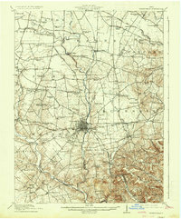
1917 Map of Greenfield
USGS Topo · Published 1937About this map
Greenfield serves as the industrial and transportation hub for this rural portion of South Central Ohio, where the Baltimore and Ohio RR intersects the Detroit Toledo and Ironton RR. The surrounding landscape is defined by the winding course of Paint Creek and its many tributaries, including Rattlesnake Creek and Whetstone Creek, which carved the terrain long before the arrival of the rail lines.
Find a feature on this map
98 named features on this map. Tap any name to fly to it.
Don’t see what you’re looking for? This feature index may not catch every label — zoom into the map to look around manually.
Map Details
Editions of this 1917 Greenfield Map
2 editions found
Other maps of this area

1906 · Mt Sterling
USGS Topo · 1:62,500

1911 · Era
USGS Topo · 1:62,500

1912 · Roxabell
USGS Topo · 1:62,500

1913 · Era
USGS Topo · 1:62,500

1914 · Roxabell
USGS Topo · 1:62,500

1915 · Bainbridge
USGS Topo · 1:48,000

1915 · Piketon
USGS Topo · 1:62,500

1916 · Octa
USGS Topo · 1:62,500

1917 · Bainbridge
USGS Topo · 1:62,500

1917 · Piketon
USGS Topo · 1:62,500