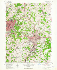
1954 Map of Greensburg
USGS Topo · Published 1964About this map
Industrial growth and post-war suburban development define this mid-century survey of Westmoreland County. The landscape is bisected by the Pennsylvania RR and the iconic Lincoln Highway, which fuel the expansion of Greensburg and neighboring Jeannette. While the town centers are dense with landmarks like Seton Hill College and the St Filumena Shrine, the periphery reveals the region's extractive roots. Dozens of active gas wells and significant strip mines dot the hills, alongside the Keystone No 1 Mine. For local historians, the presence of Bushy Run Battlefield State Park anchors the map to the colonial era, while various smaller communities like Hannastown and Forbes Road show the long-standing settlement patterns of the Hempfield and Unity townships. Local landmarks such as Mc Murrays Lake and Old Zion Ch offer precise points of interest for genealogists.
Find a feature on this map
86 named features on this map. Tap any name to fly to it.
Don’t see what you’re looking for? This feature index may not catch every label — zoom into the map to look around manually.
Map Details
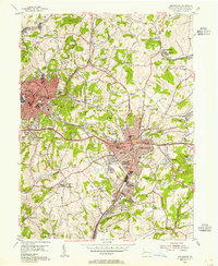
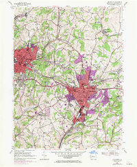
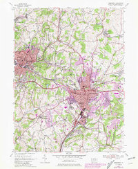
Editions of this 1954 Greensburg Map
4 editions found
Other maps of this area

1900 · Latrobe
USGS Topo · 1:62,500

1902 · Latrobe
USGS Topo · 1:62,500

1902 · Connellsville
USGS Topo · 1:62,500

1903 · Latrobe
USGS Topo · 1:62,500

1904 · Greensburg
USGS Topo · 1:62,500

1906 · Greensburg
USGS Topo · 1:62,500

1922 · Donegal
USGS Topo · 1:62,500

1931 · Connellsville
USGS Topo · 1:62,500

1935 · Donegal
USGS Topo · 1:62,500

1936 · Connellsville
USGS Topo · 1:62,500
Featured Places
- Greensburg, PA
- Jeannette, PA
- Southwest Greensburg, PA
- South Greensburg, PA
- Grapeville, Hempfield Township