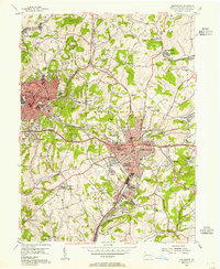
1954 Map of Greensburg
USGS Topo · Published 1955About this map
Bushy Run Battlefield State Park anchors the northwest corner of this mid-century Pennsylvania survey, marking the historic site where the British broke the siege of Fort Pitt. The landscape shows a region in transition, where the expanding industrial hubs of Greensburg and Jeannette meet the remnants of earlier extraction industries. Numerous strip mines are noted as inactive by the mid-1950s, while active gas wells dot the hillsides near Claridge and Highland.
Find a feature on this map
85 named features on this map. Tap any name to fly to it.
Don’t see what you’re looking for? This feature index may not catch every label — zoom into the map to look around manually.
Map Details
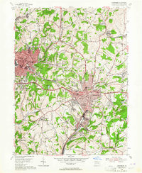
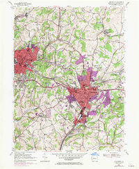
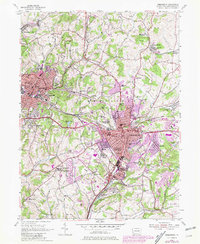
Editions of this 1954 Greensburg Map
4 editions found
Other maps of this area

1900 · Latrobe
USGS Topo · 1:62,500

1902 · Latrobe
USGS Topo · 1:62,500

1902 · Connellsville
USGS Topo · 1:62,500

1903 · Latrobe
USGS Topo · 1:62,500

1904 · Greensburg
USGS Topo · 1:62,500

1906 · Greensburg
USGS Topo · 1:62,500

1922 · Donegal
USGS Topo · 1:62,500

1931 · Connellsville
USGS Topo · 1:62,500

1935 · Donegal
USGS Topo · 1:62,500

1936 · Connellsville
USGS Topo · 1:62,500
Featured Places
- Greensburg, PA
- Jeannette, PA
- Southwest Greensburg, PA
- South Greensburg, PA
- Grapeville, Hempfield Township