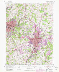
1954 Map of Greensburg
USGS Topo · Published 1979About this map
Bushy Run Battlefield State Park dominates the northwest corner of this Westmoreland County study, anchoring a landscape where colonial history and industrial expansion overlap. The map captures the significant urban sprawl of Greensburg and Jeannette, with purple-shaded revisions from 1977 highlighting the growth of residential tracts like Maplewood Terrace and commercial zones along the Lincoln Highway. Institutional landmarks such as Seton Hill College and the St Filomena Shrine stand as anchors within the developing borough limits.
Find a feature on this map
92 named features on this map. Tap any name to fly to it.
Don’t see what you’re looking for? This feature index may not catch every label — zoom into the map to look around manually.
Map Details
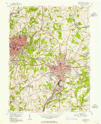
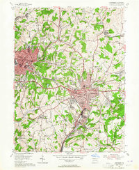
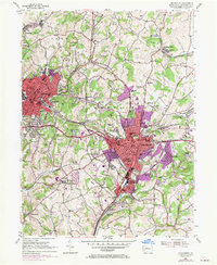
Editions of this 1954 Greensburg Map
4 editions found
Other maps of this area

1900 · Latrobe
USGS Topo · 1:62,500

1902 · Latrobe
USGS Topo · 1:62,500

1902 · Connellsville
USGS Topo · 1:62,500

1903 · Latrobe
USGS Topo · 1:62,500

1904 · Greensburg
USGS Topo · 1:62,500

1906 · Greensburg
USGS Topo · 1:62,500

1922 · Donegal
USGS Topo · 1:62,500

1931 · Connellsville
USGS Topo · 1:62,500

1935 · Donegal
USGS Topo · 1:62,500

1936 · Connellsville
USGS Topo · 1:62,500
Featured Places
- Greensburg, PA
- Jeannette, PA
- Southwest Greensburg, PA
- South Greensburg, PA
- Grapeville, Hempfield Township