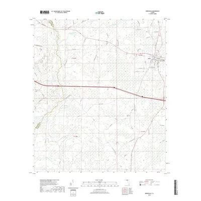
2018 Map of Greenville
USGS Topo · Published 2018About this map
Greenville and the nearby settlement of Stern serve as the primary hubs in this part of Madison County, where the landscape is defined by the headwaters and tributaries of the Little Aucilla River. The area is characterized by an extensive network of wetlands and small watercourses, including Wolf Cr, Rocky Creek, and Alligator Cr, which snake through the timberlands and agricultural plots. The presence of numerous family and community burial grounds, such as New Hopewell Cem, Hensey Cem, and Emery Cem, suggests a long-standing rural population tied to the land.
Find a feature on this map
75 named features on this map. Tap any name to fly to it.
Don’t see what you’re looking for? This feature index may not catch every label — zoom into the map to look around manually.
Map Details
Editions of this 2018 Greenville Map
This is the sole edition of this map. No revisions or reprints were ever made.
Other maps of this area
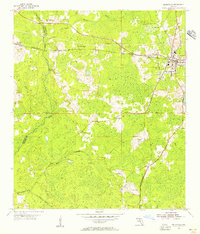
1954 · Greenville
USGS Topo · 1:24,000
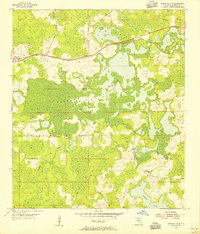
1954 · Greenville NE
USGS Topo · 1:24,000

1954 · Valdosta
USGS Topo · 1:250,000
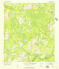
1955 · Lamont
USGS Topo · 1:24,000
1955 · Shady Grove
USGS Topo · 1:24,000
1955 · Lamont SE
USGS Topo · 1:24,000
1955 · Greenville SE
USGS Topo · 1:24,000
1958 · Valdosta
USGS Topo · 1:250,000
1959 · Valdosta
USGS Topo · 1:250,000
1962 · Ashville
USGS Topo · 1:24,000