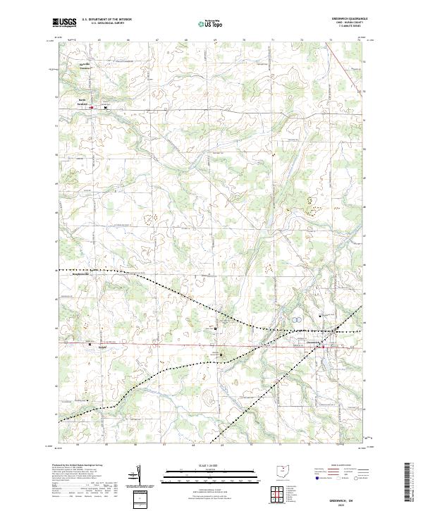
2023 Map of Greenwich
USGS Topo · Published 2023About this map
The village of Greenwich serves as a primary hub for this portion of Huron County, situated at the intersection of US Rte 224 and local routes. This landscape is defined by the headwaters and branches of several river systems, including the East Branch Huron River, the West Branch Huron River, and the Southwest Branch Vermilion River. These waterways carve soft valleys through the agricultural terrain, influencing the placement of older settlements like North Fairfield and Delphi. The presence of numerous family and farm burial grounds, such as Barre Farm Cem and Edwards Grove Cem, provides significant value for genealogists tracing early land ownership in the township. Near the village, the Greenwich Reservoir marks a critical point of local infrastructure. Small crossroads communities like Boughtonville and Hanville Corners reflect the enduring rural settlement pattern that persists into the 2020s.
Find a feature on this map
55 named features on this map. Tap any name to fly to it.
Don’t see what you’re looking for? This feature index may not catch every label — zoom into the map to look around manually.
Map Details
Editions of this 2023 Greenwich Map
This is the sole edition of this map. No revisions or reprints were ever made.
Other maps of this area

1908 · Ashland
USGS Topo · 1:62,500

1908 · New London
USGS Topo · 1:62,500

1915 · Norwalk
USGS Topo · 1:62,500

1915 · Crestline
USGS Topo · 1:62,500

1943 · Crestline
USGS Topo · 1:62,500

1944 · Norwalk
USGS Topo · 1:62,500

1950 · Marion
USGS Topo · 1:250,000

1956 · Toledo
USGS Topo · 1:250,000

1960 · New London
USGS Topo · 1:24,000

1960 · Willard
USGS Topo · 1:24,000