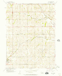
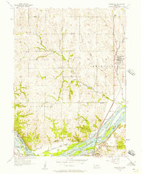
1956 Map of Gretna
USGS Topo · Published 1957About this map
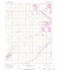
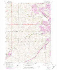
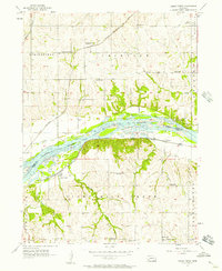
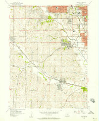
Gretna and the surrounding agricultural landscape of eastern Nebraska appear in transition during the mid-1950s, as traditional rural landmarks remain prominent alongside emerging transport corridors. The map records a dense network of country schools that served the farming community, including Iron Bluff Sch, Lone Hill Sch, and Willowdale Sch. These small educational hubs, along with family and community burial grounds such as Pennsylvania Cem and the La Borde Cem, anchor the rural census of the era. Settlement is concentrated at the rail crossings in Millard and Chalco, where the Union Pacific and Chicago Burlington and Quincy railroads facilitated movement through the valleys of West Papillion Creek and South Papillion Creek. This survey captures the county line dividing Douglas and Sarpy counties before modern suburban growth significantly altered the landscape.
Find a feature on this map
24 named features on this map. Tap any name to fly to it.
Don’t see what you’re looking for? This feature index may not catch every label — zoom into the map to look around manually.
Map Details
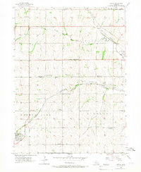
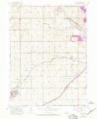
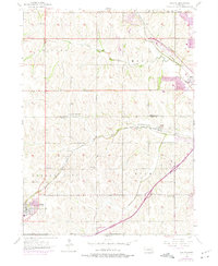
Editions of this 1956 Gretna Map
6 editions found
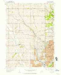
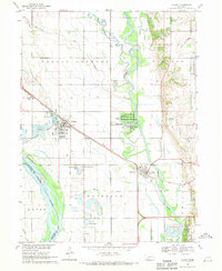
Other maps of this area

1893 · Fremont
USGS Topo · 1:125,000

1896 · Fremont
USGS Topo · 1:125,000

1955 · Fremont
USGS Topo · 1:250,000
1956 · Cedar Creek
USGS Topo · 1:24,000
1956 · Ralston
USGS Topo · 1:24,000
1956 · Springfield
USGS Topo · 1:24,000
1956 · Irvington
USGS Topo · 1:24,000

1957 · Fremont
USGS Topo · 1:250,000

1958 · Fremont
USGS Topo · 1:250,000
1968 · Valley
USGS Topo · 1:24,000