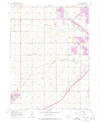
1956 Map of Gretna
USGS Topo · Published 1977About this map
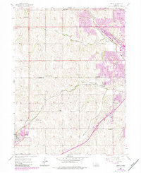
Gretna and Millard serve as the primary anchors of this eastern Nebraska landscape, captured just as suburban expansion began to overlay the traditional rural framework. The terrain is defined by the three forks of the Papillion: Boxelder Creek, West Papillion Creek, and South Papillion Creek. This survey highlights a dense network of one-room schoolhouses, including Iron Bluff Sch, Lone Hill Sch, Sunny Slope Sch, and Stender Sch, which still dotted the sections before district consolidation fully transformed the educational landscape. Transportation is dominated by the Union Pacific and Burlington Northern corridors, which dictated the growth of small whistle-stops like Chalco. For family historians, the map preserves the exact locations of several small burial grounds such as Pennsylvania Cem, Voss-Mohr Cem, and La Borde Cem, which remain vital landmarks for tracing the early settlement of Sarpy and Douglas counties.
Find a feature on this map
30 named features on this map. Tap any name to fly to it.
Don’t see what you’re looking for? This feature index may not catch every label — zoom into the map to look around manually.
Map Details
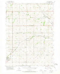
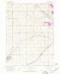
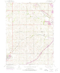
Editions of this 1956 Gretna Map
6 editions found
Other maps of this area

1893 · Fremont
USGS Topo · 1:125,000

1896 · Fremont
USGS Topo · 1:125,000

1955 · Fremont
USGS Topo · 1:250,000

1956 · Gretna
USGS Topo · 1:24,000

1956 · Cedar Creek
USGS Topo · 1:24,000

1956 · Ralston
USGS Topo · 1:24,000

1956 · Springfield
USGS Topo · 1:24,000

1956 · Irvington
USGS Topo · 1:24,000

1957 · Fremont
USGS Topo · 1:250,000

1958 · Fremont
USGS Topo · 1:250,000