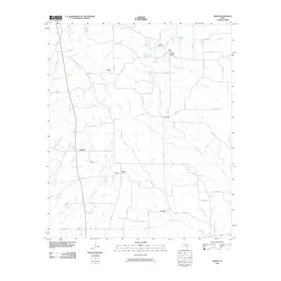
2010 Map of Griffin
USGS Topo · Published 2010About this map
Henrys Chapel and the small rural crossroads of Blackjack and Concord anchor this Cherokee County landscape, reflecting a long-standing pattern of dispersed agricultural settlement. The terrain is defined by an intricate network of waterways, including Bridge Creek, Campground Creek, and Sampson Creek, which carve through the countryside. For those researching local history, the placement of the Knoxville Cemetery, Sanders Cemetery, and Griffin Cemetery provides essential geographic markers for ancestral families. The rural infrastructure of the early 21st century is well-documented here, showing the transition between farm roads and more established routes like Bell Church Rd. The map reveals the persistence of these community identifiers, from the northern boundary near Barrons Lake down to the southern settlement of Emmaus, preserving the locations of namesake landmarks and small-scale water features like Piney Branch and Boggy Branch.
Find a feature on this map
71 named features on this map. Tap any name to fly to it.
Don’t see what you’re looking for? This feature index may not catch every label — zoom into the map to look around manually.
Map Details
Editions of this 2010 Griffin Map
This is the sole edition of this map. No revisions or reprints were ever made.
Other maps of this area

1935 · Henderson
USGS Topo · 1:48,000

1937 · Troupe
USGS Topo · 1:48,000

1939 · Henderson
USGS Topo · 1:62,500

1943 · Troup
USGS Topo · 1:62,500

1943 · Cushing
USGS Topo · 1:62,500

1943 · Rusk
USGS Topo · 1:62,500

1945 · Cushing
USGS Topo · 1:62,500

1945 · Rusk
USGS Topo · 1:62,500

1953 · Palestine
USGS Topo · 1:250,000

1956 · Tyler
USGS Topo · 1:250,000