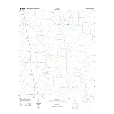
2012 Map of Griffin
USGS Topo · Published 2012About this map
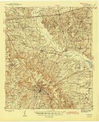
Blackjack and Griffin anchor this rural landscape in Cherokee County, defined by a network of creeks and small family cemeteries that trace the area's agricultural heritage. Numerous watercourses, including Barker Br and Campground Cr, carve through the terrain, while the private Harrison Farm Airport sits just south of the community of Griffin. The distribution of sites like Henrys Chapel and Concord reflects a settlement pattern common to this part of East Texas, where small crossroads communities grew around local gathering points. Genealogists will find significant value in the mapped locations of scattered burial grounds such as Knoxville Cem, Fitch Cem, and Sanders Cem, which serve as physical markers of the families who settled this territory between the branches of Caney Cr and Mud Creek.
Find a feature on this map
84 named features on this map. Tap any name to fly to it.
Don’t see what you’re looking for? This feature index may not catch every label — zoom into the map to look around manually.
Map Details
Editions of this 2012 Griffin Map
This is the sole edition of this map. No revisions or reprints were ever made.
Other maps of this area
1935 · Henderson
USGS Topo · 1:48,000
1937 · Troupe
USGS Topo · 1:48,000
1939 · Henderson
USGS Topo · 1:62,500
1943 · Troup
USGS Topo · 1:62,500
1943 · Cushing
USGS Topo · 1:62,500
1943 · Rusk
USGS Topo · 1:62,500
1945 · Cushing
USGS Topo · 1:62,500
1945 · Rusk
USGS Topo · 1:62,500

1953 · Palestine
USGS Topo · 1:250,000

1956 · Tyler
USGS Topo · 1:250,000