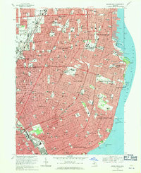
1968 Map of Grosse Pointe
USGS Topo · Published 1971About this map
Lake St Clair defines the eastern edge of this dense suburban landscape, where the exclusive shoreline communities of the Grosse Pointes meet the expanding residential blocks of Detroit and East Detroit. The map illustrates the era's post-war development pattern, with extensive residential grids punctuated by significant social and recreational hubs like the Lochmoor Country Club and the Detroit Country Club. Along the coast, the Grosse Pointe Yacht Club and Crescent Sail Yacht Club mark the region's long-standing maritime character at Gaukler Point. The transition from the urban core to the northern suburbs of Roseville and St Clair Shores is facilitated by major thoroughfares such as Gratiot Ave and the Grand Trunk Western railroad. Local history is preserved in smaller sites like the Mt Calvary Sch Cem and the grounds of the Sacred Heart Academy, situated amidst the rapid mid-century growth of Harper Woods.
Find a feature on this map
54 named features on this map. Tap any name to fly to it.
Don’t see what you’re looking for? This feature index may not catch every label — zoom into the map to look around manually.
Map Details
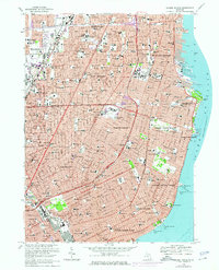
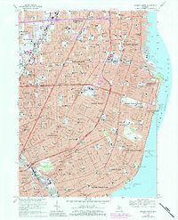
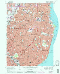
Editions of this 1968 Grosse Pointe Map
4 editions found
Other maps of this area

1905 · Detroit
USGS Topo · 1:62,500

1905 · Grosse Pointe
USGS Topo · 1:62,500

1908 · Rochester
USGS Topo · 1:62,500

1912 · Mt Clemens
USGS Topo · 1:62,500

1918 · Detroit
USGS Topo · 1:62,500

1918 · Grosse Pointe
USGS Topo · 1:62,500

1924 · Detroit
USGS Topo · 1:62,500

1929 · Mt Clemens
USGS Topo · 1:62,500

1934 · Detroit
USGS Topo · 1:62,500

1936 · Warren
USGS Topo · 1:31,680