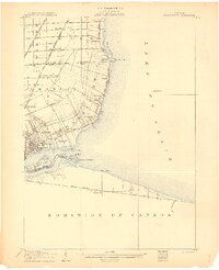
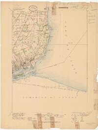
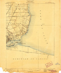
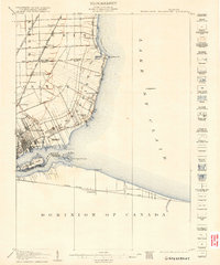
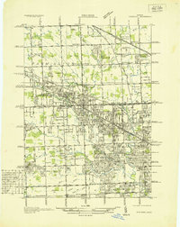
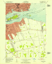
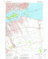
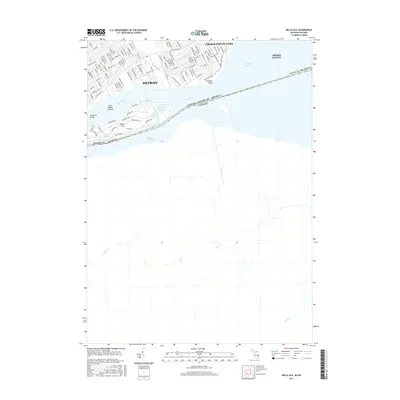
1905 Map of Grossepoint
USGS Topo · Published 1905About this map
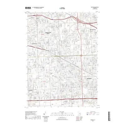
The Lake St. Clair shoreline and the upper reaches of the Detroit River define this 1904 survey, documenting a period of rapid transition from semi-rural townships to early suburban development. The landscape is marked by a distinctive pattern of long, narrow ribbon farms extending inland from the water, particularly visible in Erin and Grossepoint. Early transportation networks are well-established, including the Grand Trunk R R and the Detroit and Lake Shore Electric Ry, which linked coastal settlements like Vernier and Claireview to the growing city. Significant recreational and civic sites appear at the edge of the urban core, notably Belle Isle Park, the Waterworks Park, and the Grossepoint Racetrack. To the south, across the international boundary, the Canadian shore at Tecumseh is mapped along the Grand Trunk R R Main Line.
Find a feature on this map
47 named features on this map. Tap any name to fly to it.
Don’t see what you’re looking for? This feature index may not catch every label — zoom into the map to look around manually.
Map Details
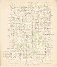
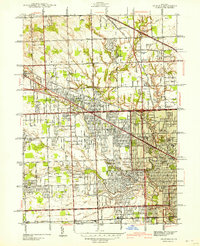
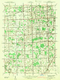
Editions of this 1905 Grossepoint Map
4 editions found
Historical Maps of Detroit Through Time
39 maps found
1936 Redford
Wayne County, MI
1936 Wayne Co Airport
Wayne County, MI
1942 Redford
Wayne County, MI
1942 Wayne Co Airport
Wayne County, MI
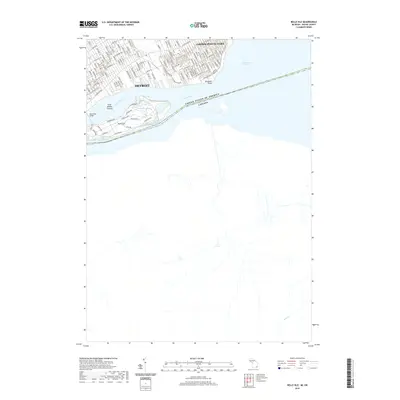
1952 Belle Isle
Wayne County, MI
1952 Detroit Wayne Airport
Wayne County, MI
1952 Redford
Wayne County, MI
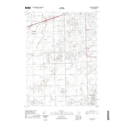
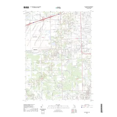
1967 Flat Rock NE
Wayne County, MI
1968 Belle Isle
Wayne County, MI
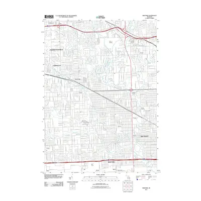
1968 Redford
Wayne County, MI
1985 Lake St. Clair South
Wayne County, MI
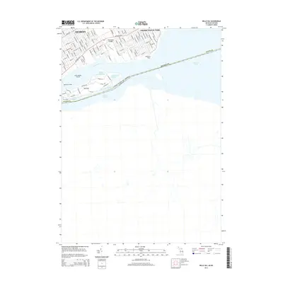
2011 Belle Isle
Wayne County, MI
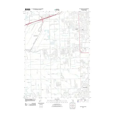
2011 Flat Rock NE
Wayne County, MI
2011 Grosse Pointe OE E
Wayne County, MI
2011 Redford
Wayne County, MI
2014 Belle Isle
Wayne County, MI
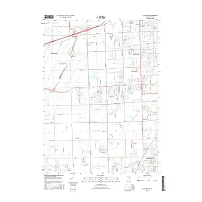
2014 Flat Rock NE
Wayne County, MI
2014 Grosse Pointe OE E
Wayne County, MI
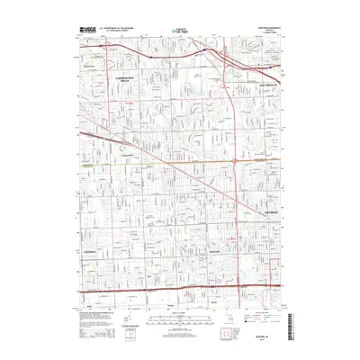
2014 Redford
Wayne County, MI

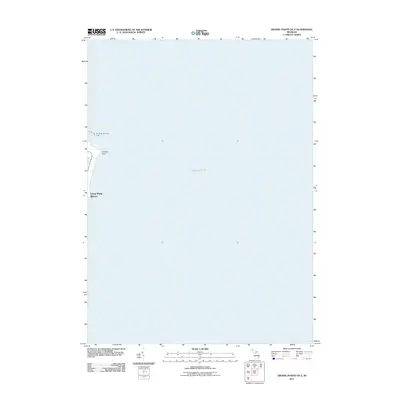
2014 Rockwood OE E
Wayne County, MI
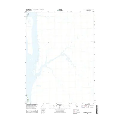
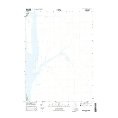
2014 Wyandotte OE E
Wayne County, MI
2017 Belle Isle
Wayne County, MI
2017 Flat Rock NE
Wayne County, MI

2017 Grosse Pointe OE E
Wayne County, MI
2017 Redford
Wayne County, MI
2017 Rockwood OE E
Wayne County, MI
2017 Wyandotte OE E
Wayne County, MI
2019 Belle Isle
Wayne County, MI
2019 Flat Rock NE
Wayne County, MI
2019 Grosse Pointe OE E
Wayne County, MI
2019 Redford
Wayne County, MI
2019 Rockwood OE E
Wayne County, MI
2019 Wyandotte OE E
Wayne County, MI
2023 Belle Isle
Wayne County, MI
2023 Flat Rock NE
Wayne County, MI

2023 Grosse Pointe OE E
Wayne County, MI
2023 Redford
Wayne County, MI
2023 Rockwood OE E
Wayne County, MI
2023 Wyandotte OE E
Wayne County, MI