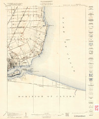
1905 Map of Grosse Pointe
USGS Topo · Published 1915About this map
Lake St Clair and the Detroit River define this coastal landscape at the start of the 20th century, where the transition from Detroit's urban edge to rural township life is clearly visible. The shoreline is a focus of early development, featuring landmarks like Grossepoint Racetrack and Waterworks Park near Fairview, while farther north, the coast is dotted with settlements such as Grossepoint Farms, Claireview, and Vernier. The intricate property lines extending from the water suggest the area's history of French ribbon farms. Inland, transportation is dominated by the Grand Trunk R R and the Detroit and Huron Electric R R, which connect established hubs like Roseville and Halfway. Across the international border, the Canadian shore at Tecumseh and Askins Pt sits across from the landmark Belle Isle Park and Isle aux Peches.
Find a feature on this map
45 named features on this map. Tap any name to fly to it.
Don’t see what you’re looking for? This feature index may not catch every label — zoom into the map to look around manually.
Map Details
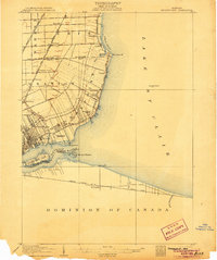
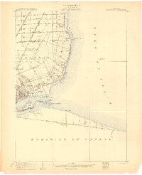
Editions of this 1905 Grosse Pointe Map
4 editions found
Other maps of this area

1905 · Detroit
USGS Topo · 1:62,500

1905 · Grosse Pointe
USGS Topo · 1:62,500

1906 · Wyandotte
USGS Topo · 1:62,500

1908 · Rochester
USGS Topo · 1:62,500

1912 · Mt Clemens
USGS Topo · 1:62,500

1912 · Wyandotte
USGS Topo · 1:62,500

1914 · Algonac
USGS Topo · 1:62,500

1918 · Detroit
USGS Topo · 1:62,500

1918 · Grosse Pointe
USGS Topo · 1:62,500

1924 · Detroit
USGS Topo · 1:62,500