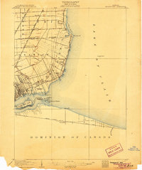
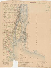
1905 Map of Grosse Pointe
USGS Topo · Published 1905About this map
Lake St Clair and the Detroit River define the shoreline of Wayne and Macomb counties in this 1904 survey, which documents the early suburban and recreational character of the region. The map captures the specialized land use of the era, from the sprawling Grossepoint Racetrack and the landscaped Belle Isle Park to the critical municipal infrastructure of Waterworks Park. Long ribbon farms and narrow property lots stretch inland from the water, reflecting the area's French colonial heritage, particularly around Grossepoint Farms and Cottage Grove.
Find a feature on this map
46 named features on this map. Tap any name to fly to it.
Don’t see what you’re looking for? This feature index may not catch every label — zoom into the map to look around manually.
Map Details
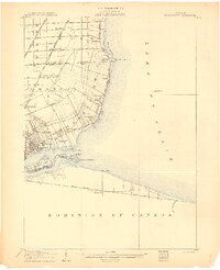
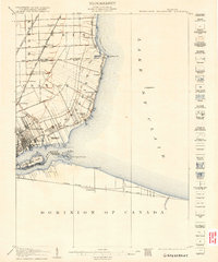
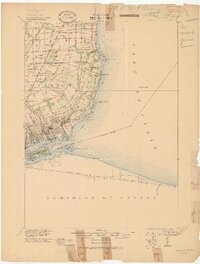
Editions of this 1905 Grosse Pointe Map
4 editions found
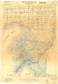
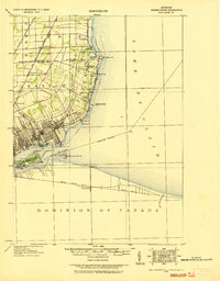
Other maps of this area

1905 · Detroit
USGS Topo · 1:62,500
1905 · Grosse Pointe
USGS Topo · 1:62,500

1906 · Wyandotte
USGS Topo · 1:62,500

1908 · Rochester
USGS Topo · 1:62,500

1912 · Mt Clemens
USGS Topo · 1:62,500
1912 · Wyandotte
USGS Topo · 1:62,500
1914 · Algonac
USGS Topo · 1:62,500

1918 · Detroit
USGS Topo · 1:62,500
1918 · Grosse Pointe
USGS Topo · 1:62,500

1924 · Detroit
USGS Topo · 1:62,500