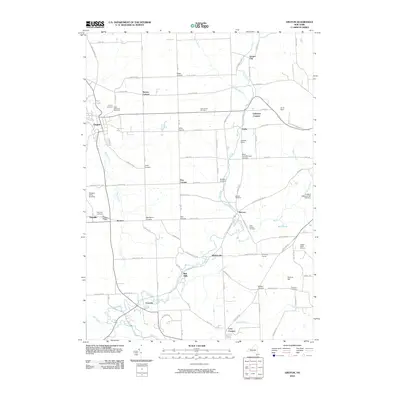
2010 Map of Groton
USGS Topo · Published 2010About this map
Fall Creek and Owasco Inlet define the drainage of this central New York landscape, which is characterized by a dense network of nineteenth-century hamlets and family-named crossroads. The village of Groton serves as the primary hub, while smaller clusters like Freeville, McLean, and Malloryville reveal the area's agricultural and small-scale industrial history. Of particular interest to local historians is the site of Red Mills along Mud Creek, a reminder of the water-powered economy that once drove local commerce.
Find a feature on this map
107 named features on this map. Tap any name to fly to it.
Don’t see what you’re looking for? This feature index may not catch every label — zoom into the map to look around manually.
Map Details
Editions of this 2010 Groton Map
This is the sole edition of this map. No revisions or reprints were ever made.
Other maps of this area

1898 · Moravia
USGS Topo · 1:62,500

1900 · Dryden
USGS Topo · 1:62,500

1902 · Moravia
USGS Topo · 1:62,500

1903 · Cortland
USGS Topo · 1:62,500

1903 · Harford
USGS Topo · 1:62,500

1906 · Catatonk
USGS Topo · 1:125,000

1942 · Groton
USGS Topo · 1:24,000

1943 · Moravia
USGS Topo · 1:31,680

1943 · West Groton
USGS Topo · 1:31,680

1943 · Groton
USGS Topo · 1:31,680