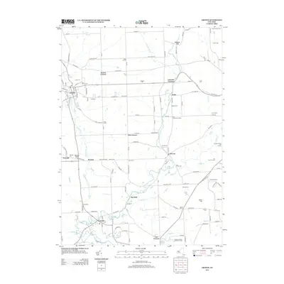
2013 Map of Groton
USGS Topo · Published 2013About this map
Owasco Inlet flows northward through the village of Groton, carving a valley that defines the central settlement corridor of this central New York landscape. In the early 21st century, the area remains characterized by a dense network of hamlets and family-named corners such as Morton Corners, Lafayette Corners, and Fitts Corners. The southern portion of the map transition into the educational and industrial reaches of Freeville, where Fall Cr and Virgil Cr converge near the campus of Tompkins-Cortland Community College.
Find a feature on this map
90 named features on this map. Tap any name to fly to it.
Don’t see what you’re looking for? This feature index may not catch every label — zoom into the map to look around manually.
Map Details
Editions of this 2013 Groton Map
This is the sole edition of this map. No revisions or reprints were ever made.
Other maps of this area

1898 · Moravia
USGS Topo · 1:62,500

1900 · Dryden
USGS Topo · 1:62,500

1902 · Moravia
USGS Topo · 1:62,500

1903 · Cortland
USGS Topo · 1:62,500

1903 · Harford
USGS Topo · 1:62,500

1906 · Catatonk
USGS Topo · 1:125,000

1942 · Groton
USGS Topo · 1:24,000

1943 · Moravia
USGS Topo · 1:31,680

1943 · West Groton
USGS Topo · 1:31,680

1943 · Groton
USGS Topo · 1:31,680