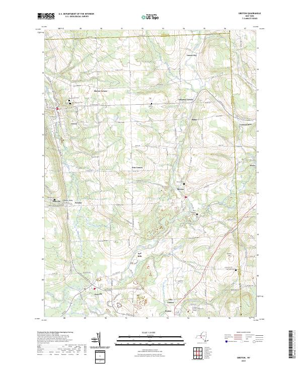
2023 Map of Groton
USGS Topo · Published 2023About this map
Groton stands as the primary hub in this corner of the Finger Lakes region, where the valley of the Owasco Inlet meets a landscape defined by glacial topography and agricultural heritage. The village's street grid, including Cayuga St and Main St, transitions into a network of hamlets and rural crossroads such as Morton Corners, Lafayette Corners, and Fitts Corners. In the southern portion of the quadrangle, the convergence of Fall Creek and Dryden Creek near Freeville and Dryden highlights the historical importance of water power, as seen at Red Mills. Higher elevations to the east are punctuated by Simms Hill and the small settlement of Nubia. This contemporary survey also documents modern institutional landmarks like the Tompkins Cortland Community College campus, providing a clear view of how educational and residential growth has integrated into the established patterns of older settlements like McLean and Peruville.
Find a feature on this map
119 named features on this map. Tap any name to fly to it.
Don’t see what you’re looking for? This feature index may not catch every label — zoom into the map to look around manually.
Map Details
Editions of this 2023 Groton Map
This is the sole edition of this map. No revisions or reprints were ever made.
Other maps of this area

1898 · Moravia
USGS Topo · 1:62,500

1900 · Dryden
USGS Topo · 1:62,500

1902 · Moravia
USGS Topo · 1:62,500

1903 · Cortland
USGS Topo · 1:62,500

1903 · Harford
USGS Topo · 1:62,500

1906 · Catatonk
USGS Topo · 1:125,000

1942 · Groton
USGS Topo · 1:24,000

1943 · Moravia
USGS Topo · 1:31,680

1943 · West Groton
USGS Topo · 1:31,680

1943 · Groton
USGS Topo · 1:31,680