
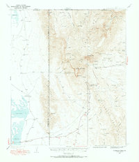
1933 Map of Guadalupe Peak
USGS Topo · Published 1933About this map
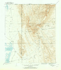
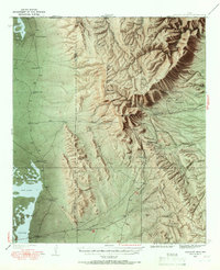
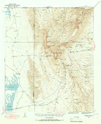
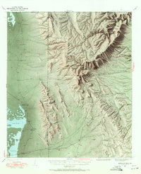
Guadalupe Peak and the towering limestone face of El Capitan dominate this high-altitude landscape in West Texas, where the high desert of the Salt Basin meets the steep escarpments of the Guadalupe Mountains. This 1933 survey reveals a sparsely populated ranching frontier transitioning toward conservation and recreation. Notable homesteads and outposts like Williams Ranch, Old PX Ranch Headquarters, and the remote Ables PO dot the foothills, while higher elevations show early seasonal retreats such as Pratt's Summer Home and the Grisham Hunter Lodge. The era's transportation and industry are visible through the path of State Highway No 130, an Airway Beacon, and the high-country Calumet and Texas Mine. The intricate drainage systems of North McKittrick Canyon and South McKittrick Canyon illustrate the complex verticality of The Bowl, a distinctive high-mountain basin.
Find a feature on this map
62 named features on this map. Tap any name to fly to it.
Don’t see what you’re looking for? This feature index may not catch every label — zoom into the map to look around manually.
Map Details
Editions of this 1933 Guadalupe Peak Map
6 editions found
Other maps of this area

1935 · El Paso Gap
USGS Topo · 1:62,500

1936 · El Paso Gap
USGS Topo · 1:48,000

1940 · El Paso Gap
USGS Topo · 1:62,500

1940 · Guadalupe Peak
USGS Topo · 1:62,500

1940 · Carlsbad Caverns West
USGS Topo · 1:62,500

1943 · Carlsbad Caverns West
USGS Topo · 1:62,500

1951 · Dell City
USGS Topo · 1:62,500

1954 · Carlsbad
USGS Topo · 1:250,000

1954 · Van Horn
USGS Topo · 1:250,000

1955 · Black Mountains
USGS Topo · 1:62,500