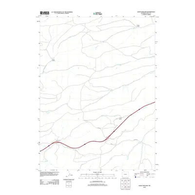
2012 Map of Guild Hollow
USGS Topo · Published 2012About this map
Guild Hollow defines this portion of Uinta County, where high-country drainage networks converge across a landscape shaped by seasonal water and early transit routes. The map detail highlights a series of perennial water sources and named depressions, including Crompton Spring and Roadside Spring, which historically served as vital stops for travelers and livestock in the arid Wyoming terrain. A complex system of creek beds such as Byrne Cr and Hinshaw Cr carve through the land, illustrating the natural watershed patterns north of the main travel corridor. The presence of Painter Rd and Divide Rd suggests the continued importance of these ridge-line and valley-floor paths for local connectivity, while landmarks like Thistle Hollow and Picnic Hollow point to a long-standing local nomenclature for the area's distinct topographical folds.
Find a feature on this map
15 named features on this map. Tap any name to fly to it.
Don’t see what you’re looking for? This feature index may not catch every label — zoom into the map to look around manually.
Map Details
Editions of this 2012 Guild Hollow Map
This is the sole edition of this map. No revisions or reprints were ever made.
Other maps of this area

1954 · Ogden
USGS Topo · 1:250,000

1958 · Ogden
USGS Topo · 1:250,000

1960 · Ogden
USGS Topo · 1:250,000

1965 · Evanston
USGS Topo · 1:24,000

1965 · Ragan
USGS Topo · 1:24,000

1965 · Little Dee Creek
USGS Topo · 1:24,000

1965 · Meadow Draw
USGS Topo · 1:24,000

1965 · Sulphur Creek Reservoir
USGS Topo · 1:24,000

1965 · Guild Hollow
USGS Topo · 1:24,000

1965 · Three Forks
USGS Topo · 1:24,000