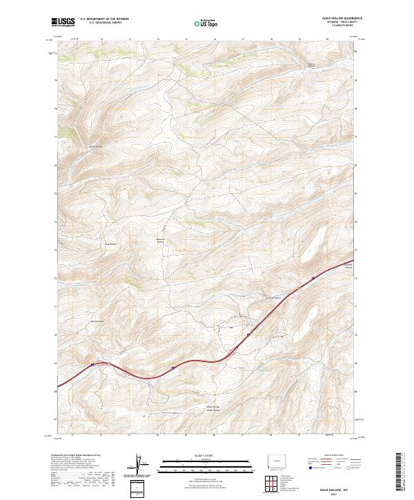
2021 Map of Guild Hollow
USGS Topo · Published 2021About this map
Guild Hollow and the surrounding high country of Uinta County are defined by a network of drainage basins and named springs. This modern survey illustrates the persistent importance of water sources in this arid landscape, featuring Crompton Spring and Roadside Spring. The terrain is deeply incised by numerous hollows, including Robinson Hollow, Long Hollow, and Duncomb Hollow, which provide natural corridors through the ridges.
Find a feature on this map
25 named features on this map. Tap any name to fly to it.
Don’t see what you’re looking for? This feature index may not catch every label — zoom into the map to look around manually.
Map Details
Editions of this 2021 Guild Hollow Map
This is the sole edition of this map. No revisions or reprints were ever made.
Other maps of this area

1954 · Ogden
USGS Topo · 1:250,000

1958 · Ogden
USGS Topo · 1:250,000

1960 · Ogden
USGS Topo · 1:250,000

1965 · Evanston
USGS Topo · 1:24,000

1965 · Ragan
USGS Topo · 1:24,000

1965 · Little Dee Creek
USGS Topo · 1:24,000

1965 · Meadow Draw
USGS Topo · 1:24,000

1965 · Sulphur Creek Reservoir
USGS Topo · 1:24,000

1965 · Guild Hollow
USGS Topo · 1:24,000

1965 · Three Forks
USGS Topo · 1:24,000