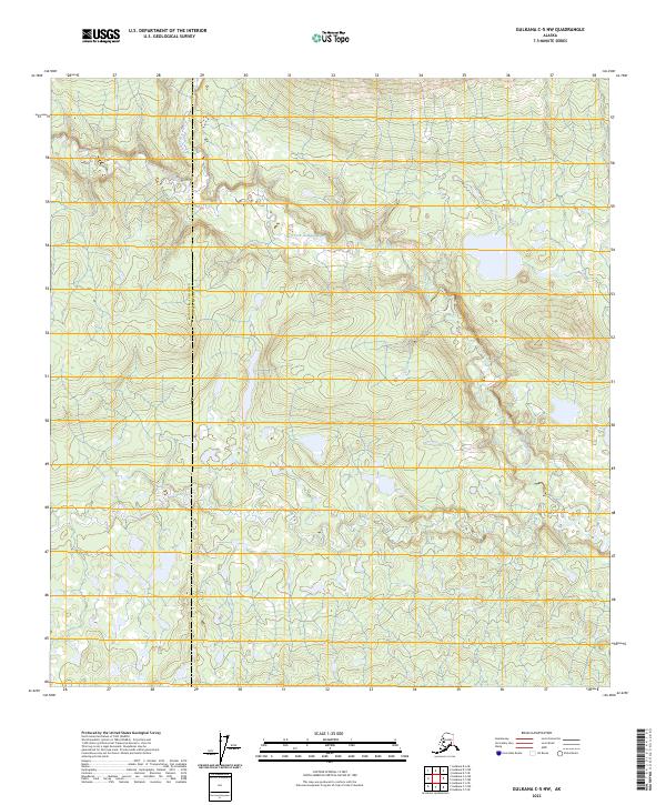
2023 Map of Gulkana C-5 NW
USGS Topo · Published 2023About this map
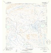
Gulkana Wild and Scenic River meanders across the southern portion of this landscape, marking a protected corridor within the Copper River Basin. The terrain is defined by the hydrologic network of the West Fork Gulkana River, which is fed by smaller tributaries including Moose Creek and Keg Creek. This modern survey illustrates the remote character of the interior, where the administrative boundary between Matanuska-Susitna and Copper River counties cuts through an area largely void of man-made infrastructure. The lack of roads or settlements highlights the preservation of the river's natural drainage patterns, offering a clear view of the wetland and riparian systems as they existed in the early 2020s.
Find a feature on this map
10 named features on this map. Tap any name to fly to it.
Don’t see what you’re looking for? This feature index may not catch every label — zoom into the map to look around manually.
Map Details
Editions of this 2023 Gulkana C-5 NW Map
This is the sole edition of this map. No revisions or reprints were ever made.
Other maps of this area

1951 · Gulkana
USGS Topo · 1:250,000

1951 · Gulkana D-6
USGS Topo · 1:63,360

1951 · Gulkana D-5
USGS Topo · 1:63,360

1951 · Gulkana C-5
USGS Topo · 1:63,360

1951 · Gulkana C-6
USGS Topo · 1:63,360
1952 · Gulkana D-6
USGS Topo · 1:63,360
1952 · Gulkana D-5
USGS Topo · 1:63,360
1952 · Gulkana C-5
USGS Topo · 1:63,360
1952 · Gulkana C-6
USGS Topo · 1:63,360

1959 · Gulkana
USGS Topo · 1:250,000