
1959 Map of Gum Lake
USGS Topo · Published 1960About this map
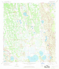
The vast wetlands of the Green Swamp dominate this late-1950s survey of Polk County, where seasonal waters and marshes isolate small pockets of high ground. In the southeastern corner, the fringes of Haines City show the beginnings of more formal development near Tower Lake and Hammock Lake. This era highlights the rural transition of the Florida interior, where established tracts like Holiday Manor and the Radio Towers (WGTO) stand out against a backdrop of citrus groves and scattered ponds. A significant pipeline and the Polk City Road carve straight paths through the swampy terrain, connecting isolated wells and water bodies like Lake Lowery and Gum Lake. The landscape is dotted with varied hydrologic features, from the deep Crystal Lake to the shallow marshes of Duck Pond, reflecting the complex drainage patterns of the region before modern water management altered the natural flow of the swamp.
Find a feature on this map
23 named features on this map. Tap any name to fly to it.
Don’t see what you’re looking for? This feature index may not catch every label — zoom into the map to look around manually.
Map Details
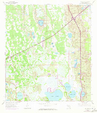
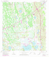
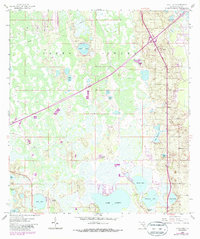
Editions of this 1959 Gum Lake Map
5 editions found
Other maps of this area

1944 · Polk City
USGS Topo · 1:31,680

1944 · Auburndale
USGS Topo · 1:31,680

1953 · Dundee
USGS Topo · 1:24,000

1953 · Intercession City
USGS Topo · 1:24,000

1953 · Davenport
USGS Topo · 1:24,000

1955 · Orlando
USGS Topo · 1:250,000

1957 · Orlando
USGS Topo · 1:250,000

1958 · Orlando
USGS Topo · 1:250,000

1959 · Lake Louisa SW
USGS Topo · 1:24,000

1959 · Poyner
USGS Topo · 1:24,000