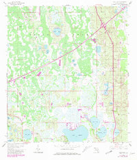
1959 Map of Gum Lake
USGS Topo · Published 1981About this map
The Green Swamp dominates this landscape, showing a complex hydrological network of wetlands and isolated basins north of Haines City. Large water bodies like Lake Lowery, Gum Lake, and Bonnet Lake define the southern half of the quadrangle, while smaller features such as Tangerine Lake and Bay Lake are tucked into the marshy terrain. The area reflects mid-century utility and communication infrastructure, evidenced by a large pipeline cutting across the swamp and the Radio Towers (WGT O) near the lakes. Small residential developments like Holiday Manor and the northern edge of Haines City show the early stages of settlement expansion into the Polk County interior. Local transportation is represented by a private Landing Strip near the shores of Lake St Charles, pointing to the region's reliance on air and road access before modern highway saturation.
Find a feature on this map
24 named features on this map. Tap any name to fly to it.
Don’t see what you’re looking for? This feature index may not catch every label — zoom into the map to look around manually.
Map Details
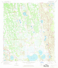
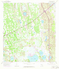
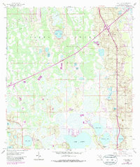
Editions of this 1959 Gum Lake Map
5 editions found
Other maps of this area

1944 · Polk City
USGS Topo · 1:31,680

1944 · Auburndale
USGS Topo · 1:31,680

1953 · Dundee
USGS Topo · 1:24,000

1953 · Intercession City
USGS Topo · 1:24,000

1953 · Davenport
USGS Topo · 1:24,000

1955 · Orlando
USGS Topo · 1:250,000

1957 · Orlando
USGS Topo · 1:250,000

1958 · Orlando
USGS Topo · 1:250,000

1959 · Gum Lake
USGS Topo · 1:24,000

1959 · Lake Louisa SW
USGS Topo · 1:24,000