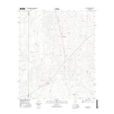
2016 Map of Gum Springs
USGS Topo · Published 2016About this map
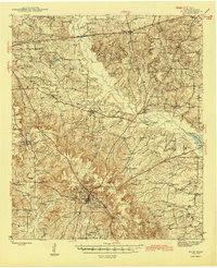
Gum Springs lies at the heart of this landscape in eastern Rusk County, where the transition from the rolling woodlands of the Piney Woods is marked by numerous small tributaries and localized lakes. The area is defined by a decentralized pattern of small settlements like Pleasant Grove and McKnight, reflecting a community structure rooted in local agriculture and family landmarks. This 2016 survey provides a clear look at the persistent rural character of the region, where family heritage is preserved in sites like Waggoner Cem, Spence Cem, and Neeley Cem. Water is a defining element throughout the quadrangle, with drainage provided by systems like Scoober Cr and Johnson Cr, alongside bodies of water such as Ashby Lake and County Lake. The map captures the intricate network of county roads and farm-to-market routes that link these disparate landmarks and small rural clusters.
Find a feature on this map
75 named features on this map. Tap any name to fly to it.
Don’t see what you’re looking for? This feature index may not catch every label — zoom into the map to look around manually.
Map Details
Editions of this 2016 Gum Springs Map
This is the sole edition of this map. No revisions or reprints were ever made.
Other maps of this area
1935 · Henderson
USGS Topo · 1:48,000
1937 · Troupe
USGS Topo · 1:48,000
1939 · Henderson
USGS Topo · 1:62,500
1943 · Troup
USGS Topo · 1:62,500
1943 · Cushing
USGS Topo · 1:62,500
1943 · Rusk
USGS Topo · 1:62,500
1945 · Cushing
USGS Topo · 1:62,500
1945 · Rusk
USGS Topo · 1:62,500

1953 · Palestine
USGS Topo · 1:250,000

1956 · Tyler
USGS Topo · 1:250,000