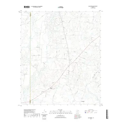
2019 Map of Gum Springs
USGS Topo · Published 2019About this map
Pleasant Grove and McKnight anchor a landscape defined by the drainage basins of the Piney Woods, where numerous small creeks like Johnson Cr and Striker Cr carve through the East Texas terrain. This rural Rusk County landscape is notably dense with family and community burial grounds, including the Boatright Cem, Waggoner Cem, and Moyers Cem, offering significant value for genealogical research. The mapping reveals a transition in land use, where managed water bodies such as Ashby Lake and County Lake dot the countryside alongside traditional agricultural tracts. A complex network of county roads and farm-to-market routes like FM 1798 W and FM 839 connects the small settlements of Pone and Pleasant Grove, tracing the historical movement patterns through the area's timber and farmland before reaching the Cherokee County line.
Find a feature on this map
74 named features on this map. Tap any name to fly to it.
Don’t see what you’re looking for? This feature index may not catch every label — zoom into the map to look around manually.
Map Details
Editions of this 2019 Gum Springs Map
This is the sole edition of this map. No revisions or reprints were ever made.
Other maps of this area

1935 · Henderson
USGS Topo · 1:48,000

1937 · Troupe
USGS Topo · 1:48,000

1939 · Henderson
USGS Topo · 1:62,500

1943 · Troup
USGS Topo · 1:62,500

1943 · Cushing
USGS Topo · 1:62,500

1943 · Rusk
USGS Topo · 1:62,500

1945 · Cushing
USGS Topo · 1:62,500

1945 · Rusk
USGS Topo · 1:62,500

1953 · Palestine
USGS Topo · 1:250,000

1956 · Tyler
USGS Topo · 1:250,000