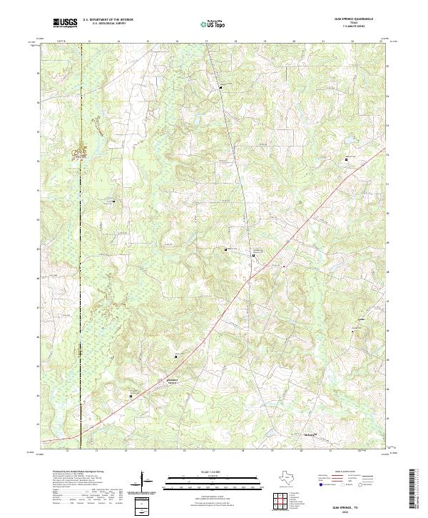
2022 Map of Gum Springs
USGS Topo · Published 2022About this map
The rolling hills along the Cherokee and Rusk county line reveal a landscape defined by small rural settlements and numerous family burial grounds. The community of Pleasant Grove serves as a central point, situated near several significant local sites including Pleasant Grove Cem and Moore Cem. The terrain is deeply etched by a network of drainage systems, such as Striker Cr and Bowles Creek, which feed into local bodies of water like Ashby Lake and Graham Lake.
Find a feature on this map
79 named features on this map. Tap any name to fly to it.
Don’t see what you’re looking for? This feature index may not catch every label — zoom into the map to look around manually.
Map Details
Editions of this 2022 Gum Springs Map
This is the sole edition of this map. No revisions or reprints were ever made.
Other maps of this area

1935 · Henderson
USGS Topo · 1:48,000

1937 · Troupe
USGS Topo · 1:48,000

1939 · Henderson
USGS Topo · 1:62,500

1943 · Troup
USGS Topo · 1:62,500

1943 · Cushing
USGS Topo · 1:62,500

1943 · Rusk
USGS Topo · 1:62,500

1945 · Cushing
USGS Topo · 1:62,500

1945 · Rusk
USGS Topo · 1:62,500

1953 · Palestine
USGS Topo · 1:250,000

1956 · Tyler
USGS Topo · 1:250,000