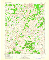
1961 Map of Guston
USGS Topo · Published 1962About this map
Brandenburg serves as the focal point for this Meade County landscape, where the Ohio River hills meet the sinkhole-dotted uplands of the Pennyroyal Plateau. The early 1960s layout reveals a distinct pattern of small agricultural hubs such as Ekron, Midway, and Guston linked by an extensive network of early corridors like the Louisville and Nashville Road and Nashville Road. For the local historian, the map documents essential community centers including New Highland Ch, Salem Ch, and the County High Sch. The presence of the Louisville and Nashville railroad line and features like the County Fairground and Brandenburg Station highlight the era's transport and social infrastructure. An interesting industrial detail is preserved with the marking of an Oil Well near the center of the sheet, set among the numerous depressions and ponds characteristic of the regional karst topography.
Find a feature on this map
28 named features on this map. Tap any name to fly to it.
Don’t see what you’re looking for? This feature index may not catch every label — zoom into the map to look around manually.
Map Details
Editions of this 1961 Guston Map
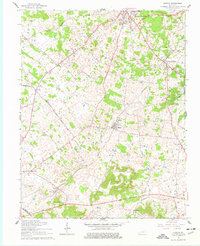
2 editions found
Other maps of this area

1928 · Hardinsburg
USGS Topo · 1:48,000

1931 · Hardinsburg
USGS Topo · 1:62,500

1931 · Corydon
USGS Topo · 1:62,500

1941 · Ekron
USGS Topo · 1:62,500

1946 · Rock Haven
USGS Topo · 1:24,000

1947 · Irvington
USGS Topo · 1:24,000

1947 · Garfield
USGS Topo · 1:24,000

1947 · Mauckport
USGS Topo · 1:24,000

1947 · Hardinsburg
USGS Topo · 1:62,500

1947 · Ekron
USGS Topo · 1:62,500