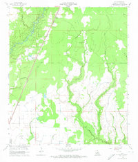
1960 Map of Guy
USGS Topo · Published 1961About this map
The Missouri Pacific railroad cuts a straight line through this section of Louisiana, connecting the small settlements of Ward, Guy, and Foley. This 1960 revision documents a landscape defined by its waterways, most notably the meandering Calcasieu River and the intricate drainage networks of Castor Creek, Mitchell Creek, and Curtis Creek. Local heritage is preserved in the naming of several family-affiliated landmarks, including McGee Cem, Deshotel Cem, and the Durose Cem. Religious life in the area is anchored by McGee Mission and St Johns Chapel, while the industrial footprint of the mid-20th century is evident through several Oil Wells and a distributed network of Pumping Sta facilities. The transition from the alluvial flats of Blue Bayou to the dissected gullies like Merry Gully reflects the varied terrain of the Allen Parish region during this era.
Find a feature on this map
22 named features on this map. Tap any name to fly to it.
Don’t see what you’re looking for? This feature index may not catch every label — zoom into the map to look around manually.
Map Details
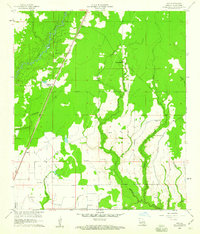
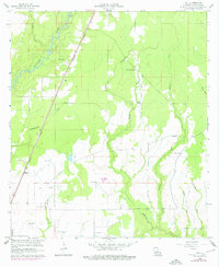
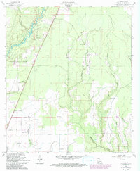
Editions of this 1960 Guy Map
4 editions found
Other maps of this area

1935 · Beaver
USGS Topo · 1:31,680

1935 · Oakdale
USGS Topo · 1:31,680

1942 · Oakdale
USGS Topo · 1:62,500

1947 · Fruge Lake
USGS Topo · 1:31,680

1947 · Foley
USGS Topo · 1:31,680

1947 · Oberlin
USGS Topo · 1:31,680

1947 · Pine Chapel
USGS Topo · 1:31,680

1947 · Bond
USGS Topo · 1:31,680

1947 · Elizabeth
USGS Topo · 1:31,680

1948 · Elizabeth
USGS Topo · 1:24,000