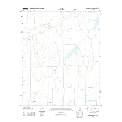
2012 Map of Hackberry Creek
USGS Topo · Published 2012About this map
The Washita River winds through the northern reaches of this landscape in Roger Mills County, defining a drainage system that includes Hackberry Cr and the topographic depression of Mulberry Draw. This 2012 survey illustrates a modern water management system characterized by several infrastructure projects, including the Soil Conservation Service Site 28 Reservoir, Soil Conservation Service / Site 32 Reservoir, and Soil Conservation Service Site 45 Reservoir. The most prominent body of water, Huston-Stickley Lake, serves as a central landmark within this network of rural county roads and ranch routes. The map records the contemporary division of land between several farm-to-market roads, such as FM-277 and FM-2654, which connect the dispersed agricultural operations and watershed sites of western Oklahoma.
Find a feature on this map
18 named features on this map. Tap any name to fly to it.
Don’t see what you’re looking for? This feature index may not catch every label — zoom into the map to look around manually.
Map Details
Editions of this 2012 Hackberry Creek Map
This is the sole edition of this map. No revisions or reprints were ever made.
Other maps of this area

1954 · Amarillo
USGS Topo · 1:250,000

1955 · Clinton
USGS Topo · 1:250,000

1957 · Clinton
USGS Topo · 1:250,000

1958 · Amarillo
USGS Topo · 1:250,000

1961 · Reydon
USGS Topo · 1:62,500

1963 · Allison
USGS Topo · 1:24,000

1963 · Allison SW
USGS Topo · 1:24,000

1966 · Durham
USGS Topo · 1:24,000

1967 · Gem
USGS Topo · 1:24,000

1967 · Hackberry Creek
USGS Topo · 1:24,000