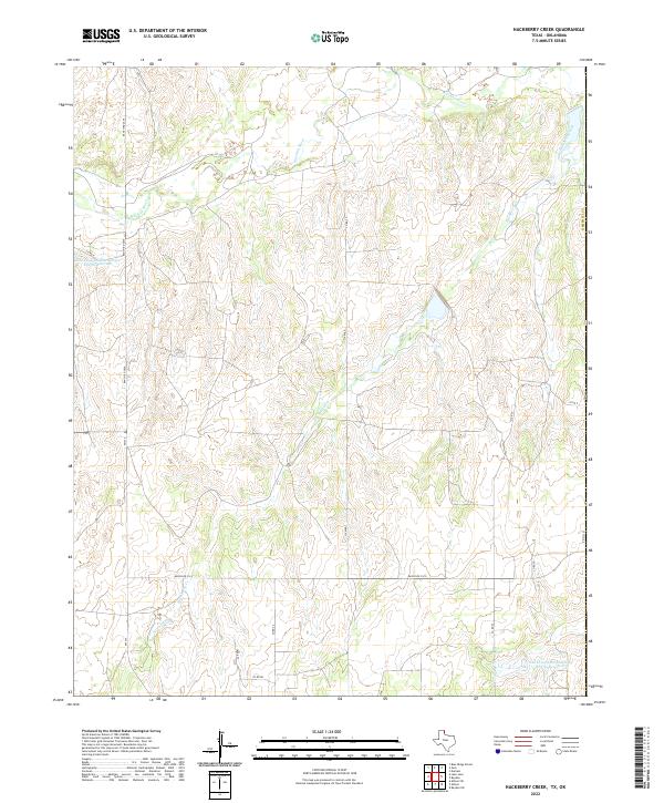
2022 Map of Hackberry Creek
USGS Topo · Published 2022About this map
The Washita River winds through the northern reaches of this Texas Panhandle landscape, shaping the drainage patterns of Hemphill Co. This modern topographic survey highlights a terrain defined by extensive watershed management, featuring the Soil Conservation Service Site 45 Reservoir and Soil Conservation Service Site 28 Reservoir. These man-made features illustrate the region's long-term efforts to control erosion and manage water resources in the semi-arid environment. The area is crisscrossed by a network of ranch roads and county routes, including Ranch Rd 2124 and the uniquely named Six Mile road. Smaller tributaries like Hackberry Cr and Creek 25 feed into the larger river system, providing a detailed look at the local hydrography as it exists today.
Find a feature on this map
21 named features on this map. Tap any name to fly to it.
Don’t see what you’re looking for? This feature index may not catch every label — zoom into the map to look around manually.
Map Details
Editions of this 2022 Hackberry Creek Map
This is the sole edition of this map. No revisions or reprints were ever made.
Other maps of this area

1954 · Amarillo
USGS Topo · 1:250,000

1955 · Clinton
USGS Topo · 1:250,000

1957 · Clinton
USGS Topo · 1:250,000

1958 · Amarillo
USGS Topo · 1:250,000

1961 · Reydon
USGS Topo · 1:62,500

1963 · Allison
USGS Topo · 1:24,000

1963 · Allison SW
USGS Topo · 1:24,000

1966 · Durham
USGS Topo · 1:24,000

1967 · Gem
USGS Topo · 1:24,000

1967 · Hackberry Creek
USGS Topo · 1:24,000