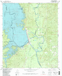
1985 Map of Haddens
USGS Topo · Published 1985About this map
The Sabine River serves as the dividing line between Louisiana and Texas in this 1980s-era study, which documents the shoreline of the Toledo Bend Reservoir. The landscape is defined by the significant hydrological engineering of the day, featuring a Spillway, Power Plant, and a massive network of wetlands including Packer Swamp and Lake Lenore. Settlement patterns reflect a mix of small communities and recreational sites, such as Metcalf, Haddens, and Louisiana State Park Site 15, all framed by the expansive Sabine National Forest.
Find a feature on this map
54 named features on this map. Tap any name to fly to it.
Don’t see what you’re looking for? This feature index may not catch every label — zoom into the map to look around manually.
Map Details
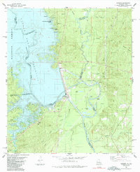
Editions of this 1985 Haddens Map
2 editions found
Other maps of this area

1941 · Leesville
USGS Topo · 1:62,500

1942 · Florien
USGS Topo · 1:62,500

1943 · Leesville
USGS Topo · 1:62,500

1944 · Negreet
USGS Topo · 1:62,500

1944 · Wiergate
USGS Topo · 1:62,500

1944 · Florien
USGS Topo · 1:62,500

1946 · Leesville
USGS Topo · 1:62,500

1948 · Leesville
USGS Topo · 1:62,500

1948 · Wiergate
USGS Topo · 1:62,500

1953 · Alexandria
USGS Topo · 1:250,000