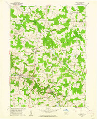
1960 Map of Hadley
USGS Topo · Published 1962About this map
Sheakleyville and the surrounding townships of Sandy Creek and Perry are defined by a mix of agricultural landscape and early extraction industries at the start of the 1960s. The New York Central railroad corridor serves as the primary backbone for the settlements of Hadley and Clarks Mills, where the line follows the path of the Little Shenango River. This area of Mercer County shows a pattern of rural community life centered around local institutions like Perry Sch, Maple Grove Ch, and the Wesleyan Ch.
Find a feature on this map
45 named features on this map. Tap any name to fly to it.
Don’t see what you’re looking for? This feature index may not catch every label — zoom into the map to look around manually.
Map Details
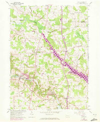
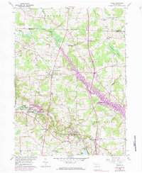
Editions of this 1960 Hadley Map
3 editions found
Other maps of this area

1906 · Linesville
USGS Topo · 1:62,500

1908 · Shenango
USGS Topo · 1:62,500

1908 · Linesville
USGS Topo · 1:62,500

1911 · Stoneboro
USGS Topo · 1:62,500

1913 · Stoneboro
USGS Topo · 1:62,500

1923 · Meadville
USGS Topo · 1:62,500

1925 · Meadville
USGS Topo · 1:62,500

1943 · Meadville
USGS Topo · 1:62,500

1943 · Stoneboro
USGS Topo · 1:62,500

1950 · Cleveland
USGS Topo · 1:250,000
Featured Places
- New Vernon Township, PA
- Sheakleyville, PA
- Schofield Corners, New Vernon Township
- Sandy Creek Township, PA
- Greenwood Township, PA