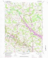
1960 Map of Hadley
USGS Topo · Published 1983About this map
The Little Shenango River and Sandy Creek define the geography of this western Pennsylvania landscape at the start of the 1960s. The region is characterized by a mix of agricultural valley floors and wooded upland terrain, with the Penn Central rail line cutting through the community of Hadley. Significant local infrastructure is visible in the form of multiple oil wells and a gas well near Perry, alongside a large pipeline that traverses the southern hills.
Find a feature on this map
46 named features on this map. Tap any name to fly to it.
Don’t see what you’re looking for? This feature index may not catch every label — zoom into the map to look around manually.
Map Details
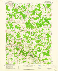
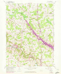
Editions of this 1960 Hadley Map
3 editions found
Other maps of this area

1906 · Linesville
USGS Topo · 1:62,500

1908 · Shenango
USGS Topo · 1:62,500

1908 · Linesville
USGS Topo · 1:62,500

1911 · Stoneboro
USGS Topo · 1:62,500

1913 · Stoneboro
USGS Topo · 1:62,500

1923 · Meadville
USGS Topo · 1:62,500

1925 · Meadville
USGS Topo · 1:62,500

1943 · Meadville
USGS Topo · 1:62,500

1943 · Stoneboro
USGS Topo · 1:62,500

1950 · Cleveland
USGS Topo · 1:250,000
Featured Places
- New Vernon Township, PA
- Sheakleyville, PA
- Schofield Corners, New Vernon Township
- Sandy Creek Township, PA
- Greenwood Township, PA