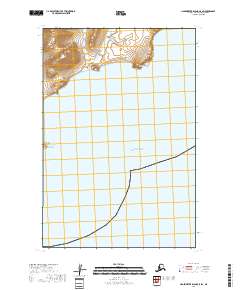
2018 Map of Hagemeister Island C-5 SW
USGS Topo · Published 2018About this map
The coastal headlands of the Bethel Census Area meet the northern reaches of the Pacific Ocean in this 2018 topographic study. Dominated by maritime geography, the sheet centers on the prominent Pyrite Point, where the mainland elevation drops sharply toward the water. To the southwest, the small landmass of Shaiak Island sits just off the coast, serving as a distinct landmark in an otherwise open marine landscape.
Find a feature on this map
6 named features on this map. Tap any name to fly to it.
Don’t see what you’re looking for? This feature index may not catch every label — zoom into the map to look around manually.
Map Details
Editions of this 2018 Hagemeister Island C-5 SW Map
This is the sole edition of this map. No revisions or reprints were ever made.
Other maps of this area

1948 · Hagemeister Island C-6
USGS Topo · 1:63,360

1948 · Hagemeister Island C-5
USGS Topo · 1:63,360

1951 · Hagemeister Island
USGS Topo · 1:250,000

1952 · Hagemeister Island C-6
USGS Topo · 1:63,360
1952 · Hagemeister Island C-5
USGS Topo · 1:63,360

1957 · Hagemeister Island
USGS Topo · 1:250,000
2018 · Hagemeister Island C-6 NE
USGS Topo · 1:25,000
2018 · Hagemeister Island C-6 SE
USGS Topo · 1:25,000
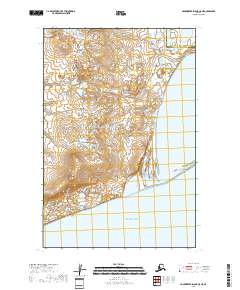
2018 · Hagemeister Island C-5 NE
USGS Topo · 1:25,000
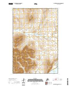
2018 · Hagemeister Island C-5 NW
USGS Topo · 1:25,000