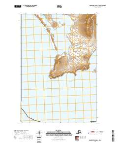
2018 Map of Hagemeister Island C-6 SE
USGS Topo · Published 2018About this map
Cape Peirce defines the dramatic meeting point of terrestrial contours and the Pacific Ocean on this coastal Alaskan sheet. The topography reveals a jagged coastline where the land terminates abruptly into the sea, forming the sheltered waters of Nanvak Bay to the north. This maritime environment is further characterized by Shaiak Island, a distinct landmass positioned off the eastern coast. The map illustrates a landscape shaped entirely by natural forces, devoid of established roads or settlements, as evidenced by the dominance of the Public Land Survey System grid including t18s r76w and t19s r75w. The intricate contour lines around the headlands indicate steep coastal elevations that have long served as significant landmarks for navigation along the Bering Sea approach.
Find a feature on this map
8 named features on this map. Tap any name to fly to it.
Don’t see what you’re looking for? This feature index may not catch every label — zoom into the map to look around manually.
Map Details
Editions of this 2018 Hagemeister Island C-6 SE Map
This is the sole edition of this map. No revisions or reprints were ever made.
Other maps of this area

1948 · Hagemeister Island C-6
USGS Topo · 1:63,360

1948 · Hagemeister Island C-5
USGS Topo · 1:63,360

1951 · Hagemeister Island
USGS Topo · 1:250,000

1952 · Hagemeister Island C-6
USGS Topo · 1:63,360
1952 · Hagemeister Island C-5
USGS Topo · 1:63,360

1957 · Hagemeister Island
USGS Topo · 1:250,000
2018 · Hagemeister Island C-6 NE
USGS Topo · 1:25,000
2018 · Hagemeister Island C-6 NW
USGS Topo · 1:25,000
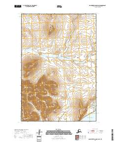
2018 · Hagemeister Island C-5 NW
USGS Topo · 1:25,000
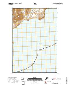
2018 · Hagemeister Island C-5 SW
USGS Topo · 1:25,000