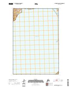
2018 Map of Hagemeister Island D-3 SW
USGS Topo · Published 2018About this map
The vast expanse of the Pacific Ocean dominates this maritime survey off the coast of the Dillingham Census Area. The waters of the Hagemeister Strait separate the mainland from the island interior, providing a essential navigational corridor in the Bristol Bay region. The most prominent terrestrial feature shown is Tongue Point, a narrow coastal projection on the eastern edge of the sheet. This 2018 edition illustrates a landscape defined by its coastline, with detailed bathymetry and topography concentrated at the margins where the sea meets the land. The map serves as a primary record of the modern shoreline and the complex relationship between the open ocean and the protected straits of southwestern Alaska.
Find a feature on this map
7 named features on this map. Tap any name to fly to it.
Don’t see what you’re looking for? This feature index may not catch every label — zoom into the map to look around manually.
Map Details
Editions of this 2018 Hagemeister Island D-3 SW Map
This is the sole edition of this map. No revisions or reprints were ever made.
Other maps of this area

1948 · Hagemeister Island D-3
USGS Topo · 1:63,360

1948 · Hagemeister Island C-4
USGS Topo · 1:63,360

1948 · Hagemeister Island C-3
USGS Topo · 1:63,360

1951 · Hagemeister Island
USGS Topo · 1:250,000

1952 · Hagemeister Island C-3
USGS Topo · 1:63,360

1952 · Hagemeister Island C-4
USGS Topo · 1:63,360

1954 · Hagemeister Island D-4
USGS Topo · 1:63,360

1957 · Hagemeister Island
USGS Topo · 1:250,000
2018 · Hagemeister Island D-3 NW
USGS Topo · 1:25,000
2018 · Hagemeister Island D-3 SE
USGS Topo · 1:25,000