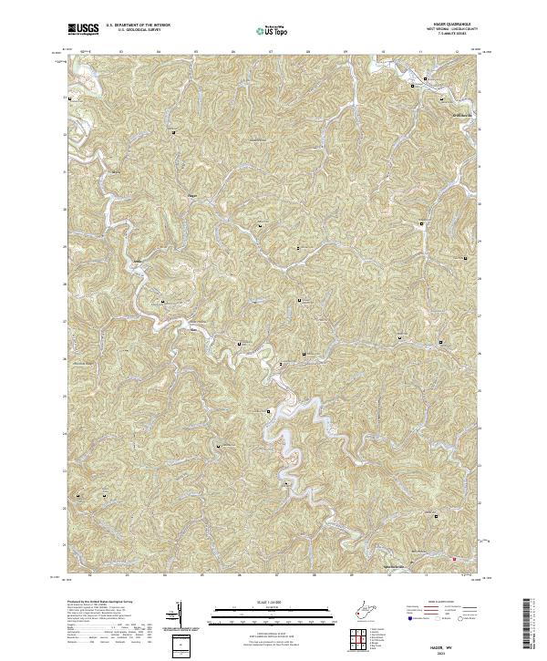
2023 Map of Hager
USGS Topo · Published 2023About this map
Mud River defines the landscape of this Lincoln County region, where deep hollows and narrow ridges have shaped small communities for generations. The geography is marked by numerous family-named landmarks and ancestral burial grounds, including the Noah Sias Cem, Goldsberry Cem, and Stowers Cem. Settlements such as Griffithsville, Spurlockville, and Hager are positioned along the winding valley floors, connected by routes like Upper Mud River Rd. The terrain is characterized by prominent elevations like Stowers Knob and McComas Ridge, which overlook a dense network of tributaries including Trace Creek and Pigeon Branch. This modern survey provides a clear view of the rural settlement patterns where residential pockets like Myra and Sias remain clustered near the watercourses and roads that navigate the complex topography.
Find a feature on this map
110 named features on this map. Tap any name to fly to it.
Don’t see what you’re looking for? This feature index may not catch every label — zoom into the map to look around manually.
Map Details
Editions of this 2023 Hager Map
This is the sole edition of this map. No revisions or reprints were ever made.
Historical Maps of Jenks Through Time
13 maps found

1902 Midkiff
Lincoln County, WV

1907 Midkiff
Lincoln County, WV
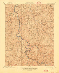
1909 Midkiff
Lincoln County, WV
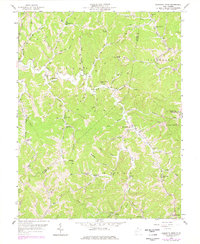
1958 Garretts Bend
Lincoln County, WV
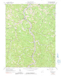
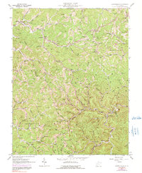
1962 Branchland
Lincoln County, WV
1962 Griffithsville
Lincoln County, WV
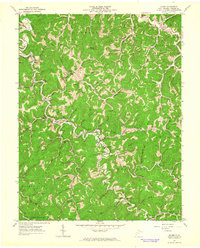
1962 Hager
Lincoln County, WV
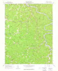
1962 Ranger
Lincoln County, WV
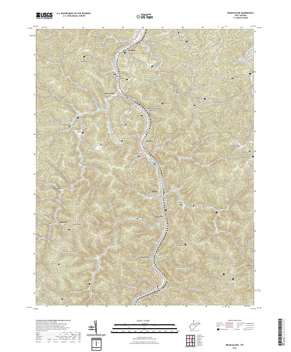
2023 Branchland
Lincoln County, WV
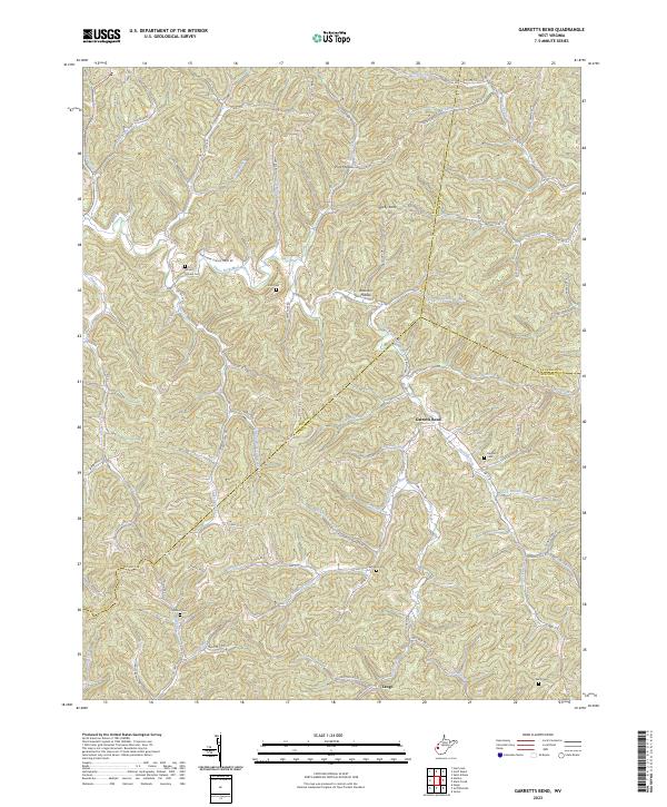
2023 Garretts Bend
Lincoln County, WV
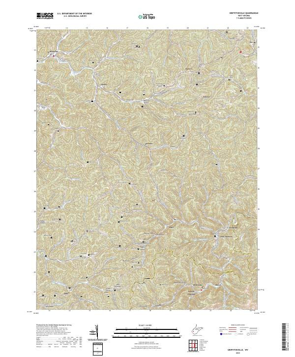
2023 Griffithsville
Lincoln County, WV
2023 Hager
Lincoln County, WV
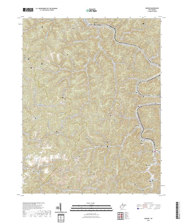
2023 Ranger
Lincoln County, WV