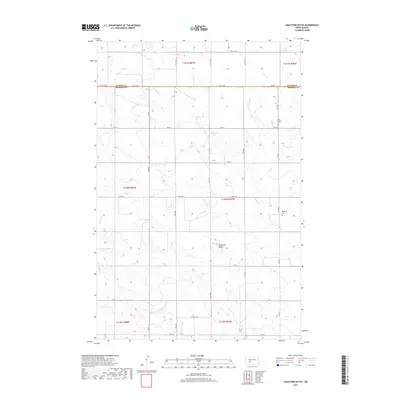
2017 Map of Hailstone Butte
USGS Topo · Published 2017About this map
Hailstone Butte rises as the central landmark of this North Dakota landscape, situated along the border of Oliver and Morton Counties. The map documents a predominantly rural section of the plains, where the rectilinear grid of township and range lines dictates the placement of early 21st-century roads such as 30th St SW and Co Rd 140. Historically significant sites like Saint Markus Cem and Bluegrass Cem remain as tangible links to the area's pioneer heritage, often serving as the primary markers of past community centers in this sparsely populated region.
Find a feature on this map
21 named features on this map. Tap any name to fly to it.
Don’t see what you’re looking for? This feature index may not catch every label — zoom into the map to look around manually.
Map Details
Editions of this 2017 Hailstone Butte Map
This is the sole edition of this map. No revisions or reprints were ever made.
Other maps of this area

1954 · Bismarck
USGS Topo · 1:250,000

1954 · McClusky
USGS Topo · 1:250,000

1958 · Bismarck
USGS Topo · 1:250,000

1958 · McClusky
USGS Topo · 1:250,000

1960 · North Almont
USGS Topo · 1:24,000

1960 · Dengate
USGS Topo · 1:24,000

1960 · Glen Ullin
USGS Topo · 1:24,000

1970 · Bluegrass
USGS Topo · 1:24,000

1970 · Hailstone Butte
USGS Topo · 1:24,000

1970 · Glen Ullin NE
USGS Topo · 1:24,000