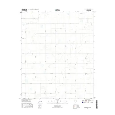
2016 Map of Hale Center SW
USGS Topo · Published 2016About this map
Center Plains Cem serves as a primary historical waypoint in this corner of the South Plains, situated along FM 179 in Hale County. The landscape is defined by an orderly grid of agricultural roads, such as E Hereford Rd and Ferguson Rd, which navigate a terrain pocketed with numerous small depressions and basins. This geometric layout reflects the systematic development of West Texas ranching and farming lands into the 21st century. The map traces the reach of several farm-to-market routes including FM 1914 and FM 1071, which connect the rural homesteads and fields across this high plateau. Genealogists and local historians can use these precise road alignments and family-named routes like Nix Rd to locate ancestral land tracts and the burial grounds that anchored these early 20th-century farming communities.
Find a feature on this map
27 named features on this map. Tap any name to fly to it.
Don’t see what you’re looking for? This feature index may not catch every label — zoom into the map to look around manually.
Map Details
Editions of this 2016 Hale Center SW Map
This is the sole edition of this map. No revisions or reprints were ever made.
Other maps of this area

1954 · Lubbock
USGS Topo · 1:250,000

1954 · Plainview
USGS Topo · 1:250,000

1954 · Clovis
USGS Topo · 1:250,000

1954 · Brownfield
USGS Topo · 1:250,000

1957 · Anton
USGS Topo · 1:62,500

1957 · Abernathy
USGS Topo · 1:62,500

1958 · Brownfield
USGS Topo · 1:250,000

1958 · Clovis
USGS Topo · 1:250,000

1958 · Plainview
USGS Topo · 1:250,000

1962 · Brownfield
USGS Topo · 1:250,000