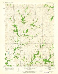
1959 Map of Half Mound
USGS Topo · Published 1961About this map
Half Mound and the surrounding agricultural townships of Kapioma, Benton, Delaware, and Norton occupy this landscape at the border of Atchison and Jefferson counties. The rural community structure of the late 1950s is clearly defined by its educational and spiritual centers, including Prairie View Sch, Nichols Sch, and the Coal Creek Ch. The terrain is deeply dissected by the Delaware River and its tributaries like Coal Creek and North Walnut Creek, creating a network of ridges where upland farms were established away from the floodplains.
Find a feature on this map
17 named features on this map. Tap any name to fly to it.
Don’t see what you’re looking for? This feature index may not catch every label — zoom into the map to look around manually.
Map Details
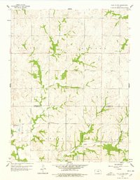
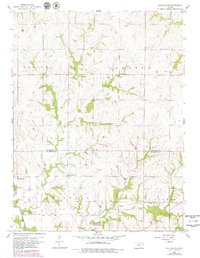
Editions of this 1959 Half Mound Map
3 editions found
Other maps of this area

1885 · Atchison
USGS Topo · 1:125,000

1886 · Oskaloosa
USGS Topo · 1:125,000

1888 · Oskaloosa
USGS Topo · 1:125,000

1888 · Atchison
USGS Topo · 1:125,000

1888 · Hiawatha
USGS Topo · 1:125,000

1889 · Topeka
USGS Topo · 1:125,000

1893 · Atchison
USGS Topo · 1:125,000

1894 · Oskaloosa
USGS Topo · 1:125,000

1894 · Topeka
USGS Topo · 1:125,000

1894 · Hiawatha
USGS Topo · 1:125,000