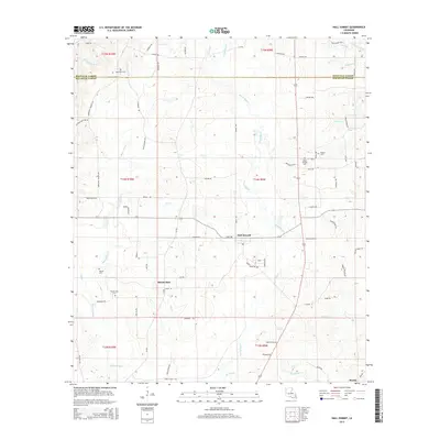
2015 Map of Hall Summit
USGS Topo · Published 2015About this map
Hall Summit serves as the central hub of this North Louisiana landscape, where the boundary between Bienville Parish and Red River Parish is defined by the winding course of Grand Bayou. The terrain is deeply carved by a network of drainage systems, including Bayou Chicot, Low Creek, and Dry Creek, which flow through the timbered and agricultural tracts. Evidence of early settlement and genealogy is scattered throughout the region, marked by numerous rural burial grounds such as Social Springs Cemetery and Watson Cemetery.
Find a feature on this map
82 named features on this map. Tap any name to fly to it.
Don’t see what you’re looking for? This feature index may not catch every label — zoom into the map to look around manually.
Map Details
Editions of this 2015 Hall Summit Map
This is the sole edition of this map. No revisions or reprints were ever made.
Other maps of this area

1941 · East Point
USGS Topo · 1:31,680

1941 · Bossier Point
USGS Topo · 1:31,680

1947 · Ringgold
USGS Topo · 1:62,500

1947 · Ashland
USGS Topo · 1:62,500

1948 · Coushatta
USGS Topo · 1:62,500

1948 · Jamestown
USGS Topo · 1:62,500

1949 · Jamestown
USGS Topo · 1:62,500

1955 · Shreveport
USGS Topo · 1:250,000

1956 · Shreveport
USGS Topo · 1:250,000

1956 · Ringgold
USGS Topo · 1:62,500