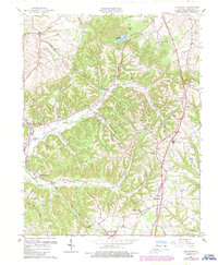
1961 Map of Halls Gap
USGS Topo · Published 1987About this map
Kings Mountain and the surrounding ridges of Lincoln County characterize this 1961 survey, showing a landscape defined by the upper reaches of the Green River. The topography transitions from the northern flats near Turnersville into the deeply dissected terrain of Naylor Ridge and Sugarloaf. This era caught the region during a period of active resource extraction, evidenced by numerous Oil Wells scattered near Jumbo and Miracle.
Find a feature on this map
44 named features on this map. Tap any name to fly to it.
Don’t see what you’re looking for? This feature index may not catch every label — zoom into the map to look around manually.
Map Details
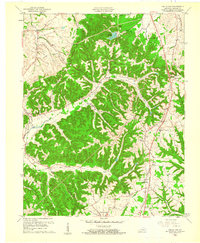
Editions of this 1961 Halls Gap Map
2 editions found
Other maps of this area

1905 · Harrodsburg
USGS Topo · 1:125,000

1952 · Halls Gap
USGS Topo · 1:24,000

1952 · Eubank
USGS Topo · 1:24,000

1952 · Crab Orchard
USGS Topo · 1:24,000

1952 · Hustonville
USGS Topo · 1:24,000

1952 · Lancaster
USGS Topo · 1:24,000

1952 · Yosemite
USGS Topo · 1:24,000

1952 · Stanford
USGS Topo · 1:24,000

1952 · Junction City
USGS Topo · 1:24,000

1952 · Woodstock
USGS Topo · 1:24,000