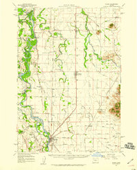
1957 Map of Halsey
USGS Topo · Published 1959About this map
The Willamette River meanders across the western edge of this valley landscape, creating a complex network of islands and side channels such as John Smith Island, Hoacum Island, and McBee Slough. The fertile plains between the river and the eastern hills are defined by a strictly surveyed grid of rural roads and the tracks of the Southern Pacific and Oregon Electric railroads. Small agricultural hubs like Halsey, Shedd, and Harrisburg serve as the primary anchors for the surrounding farmsteads. Local history is preserved in the location of several community landmarks, including Lake Creek School, the Grange Hall near Nixon, and Pine Grove Cem. The eastern portion of the survey rises into the Powell Hills and Twin Buttes, providing a sharp contrast to the flat bottoms of Muddy Creek and the Calapooia River.
Find a feature on this map
76 named features on this map. Tap any name to fly to it.
Don’t see what you’re looking for? This feature index may not catch every label — zoom into the map to look around manually.
Map Details
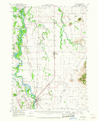
Editions of this 1957 Halsey Map
2 editions found
Other maps of this area

1909 · Harrisburg
USGS Topo · 1:31,680

1909 · Rowland
USGS Topo · 1:31,680

1909 · Elmira
USGS Topo · 1:62,500

1910 · Eugene
USGS Topo · 1:62,500

1911 · Brownsville
USGS Topo · 1:31,680

1911 · Lebanon
USGS Topo · 1:31,680

1911 · Monroe
USGS Topo · 1:31,680

1911 · Tangent
USGS Topo · 1:31,680

1911 · Inavale
USGS Topo · 1:31,680

1912 · Halsey
USGS Topo · 1:62,500