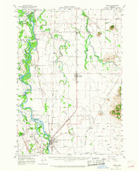
1957 Map of Halsey
USGS Topo · Published 1968About this map
Harrisburg serves as a primary hub in this mid-century survey of the Southern Willamette Valley, where the Willamette River meanders through a landscape of braided channels and fertile islands like Hoacum Island and Morgan Island. The map records a transition in regional travel, documenting the Southern Pacific and Oregon Electric rail lines alongside the development of the Pacific Highway East. Scattered throughout the rural flats are several small settlements and community centers, including Shedd, Halsey, and Fayetteville. Local historians will find specific sites of interest such as the Noraton School, Charity Grange Hall, and the Covered Bridge over a branch of the river near Dodge Island. The terrain is punctuated by isolated elevations like Ward Butte and Bond Butte, which stand out against the extensive network of sloughs and creeks including Muddy Creek and Spoon Creek.
Find a feature on this map
84 named features on this map. Tap any name to fly to it.
Don’t see what you’re looking for? This feature index may not catch every label — zoom into the map to look around manually.
Map Details
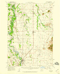
Editions of this 1957 Halsey Map
2 editions found
Other maps of this area

1909 · Harrisburg
USGS Topo · 1:31,680

1909 · Rowland
USGS Topo · 1:31,680

1909 · Elmira
USGS Topo · 1:62,500

1910 · Eugene
USGS Topo · 1:62,500

1911 · Brownsville
USGS Topo · 1:31,680

1911 · Lebanon
USGS Topo · 1:31,680

1911 · Monroe
USGS Topo · 1:31,680

1911 · Tangent
USGS Topo · 1:31,680

1911 · Inavale
USGS Topo · 1:31,680

1912 · Halsey
USGS Topo · 1:62,500